
Type Highway | Length 211 km (131 mi) Gazetted 2011 | |
 | ||
Coordinates (South end) (North end) Major settlements | ||
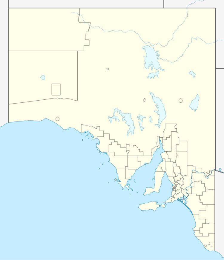
The Augusta Highway is the part of Australia's ring route (Highway 1) located in South Australia between Port Wakefield and Port Augusta. It was named Augusta Highway in 2011, and was formerly known simply as Highway One and also as the Princes Highway, despite not being continuous to the Princes Highway in the southeast of the state.
Map of Augusta Hwy, South Australia, Australia
References
Augusta Highway Wikipedia(Text) CC BY-SA