
Type Highway Route number(s) B88 | Length 101 km (63 mi) | |
 | ||
Coordinates (north end) (west end) north end | ||
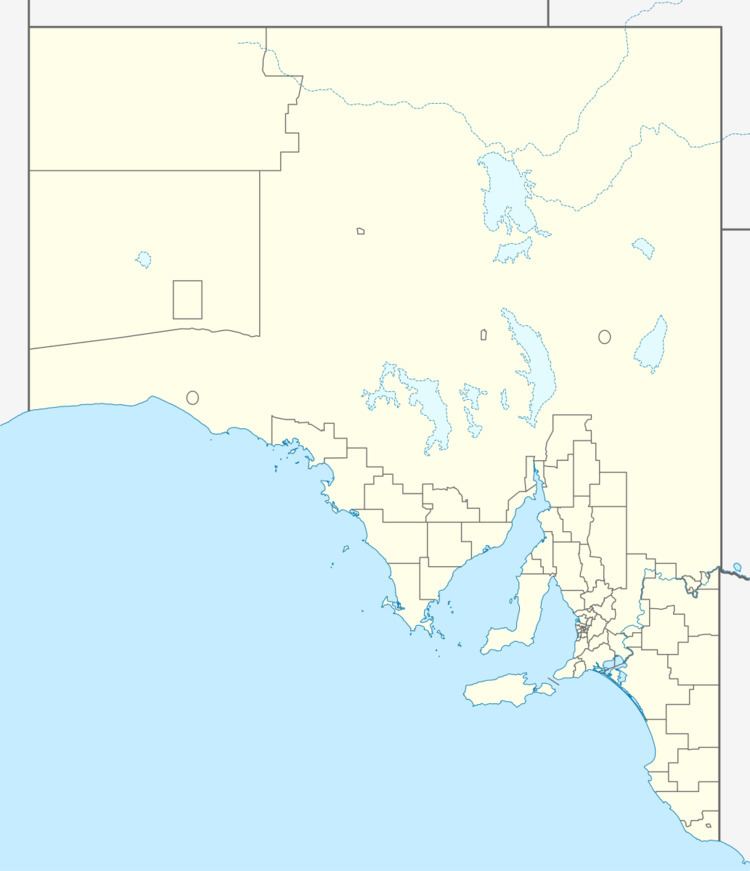
The St Vincent Highway (route B88) is a major road on the southern part of Yorke Peninsula in South Australia. It diverges from the Yorke Highway to continue south along the coast of Gulf St Vincent when the Yorke highway turns inland near Pine Point. It passes inland of Port Vincent, Stansbury, Wool Bay and Port Giles then passes through Coobowie and Edithburgh. From here, the St Vincent Highway turns northwest to Yorketown and west to Warooka where it rejoins the Yorke Highway.
Contents
Map of St Vincent Hwy, South Australia, Australia
Rex Minerals propose to realign the northern end of the current St Vincent Highway closer to the coast, and move the intersection with the Yorke Highway closer to Pine Point as part of the construction of the Hillside mine.
Major intersections
The entire highway is in the Yorke Peninsula Council area.