
Established 1884 State electorate(s) Goyder Local time Monday 1:50 PM | Postcode(s) 5571 Postal code 5571 | |
 | ||
Pine Point Gulf St VincentBlack Point Weather 33°C, Wind S at 16 km/h, 29% Humidity | ||
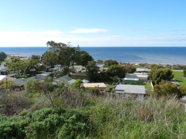
Pine Point (formerly Muloowurtie) is a locality in the Australian state of South Australia on the east side of Yorke Peninsula adjacent to Gulf St Vincent. It was surveyed as a government town in 1883 and proclaimed under the name of Muloowurtie on 24 January 1884. The name was changed to Pine Point in 1940. The boundaries of the locality were created in May 1999 in respect to the “long established name” and includes both “the Pine Point Shack Site” and " the Government Town of Pine Point."
Map of Pine Point SA 5571, Australia
References
Pine Point, South Australia Wikipedia(Text) CC BY-SA