
GNIS feature ID 0468783 Area 95.04 km² Local time Monday 11:52 AM | Time zone CST (UTC-6) Elevation 234 m Zip code 52349 Population 781 (2000) | |
 | ||
Weather 8°C, Wind N at 10 km/h, 85% Humidity | ||
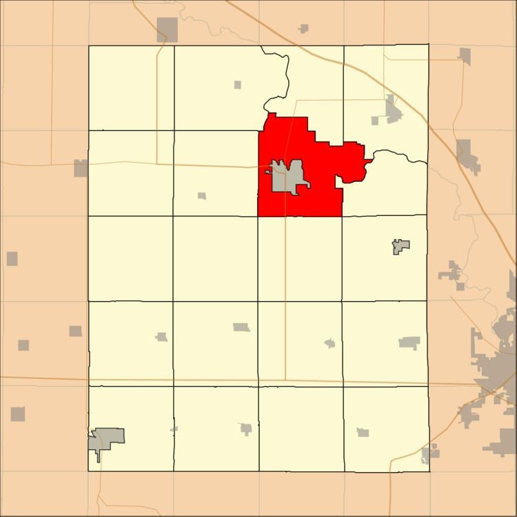
Taylor Township is one of twenty townships in Benton County, Iowa, USA. As of the 2000 census, its population was 781.
Contents
- Map of Taylor IA 52349 USA
- History
- Geography
- Adjacent townships
- Cemeteries
- Major highways
- Airports and landing strips
- School districts
- Political districts
- References
Map of Taylor, IA 52349, USA
History
Taylor Township was founded in 1846.
Geography
According to the United States Census Bureau, Taylor Township covers an area of 36.7 square miles (95.04 square kilometers); of this, 36.13 square miles (93.59 square kilometers, 98.47 percent) is land and 0.56 square miles (1.46 square kilometers, 1.54 percent) is water.
The city of Vinton is entirely within this township geographically but is a separate entity.
Adjacent townships
Cemeteries
The township contains these five cemeteries: Maplewood, Pettit Hill, Plum Grove, Saint Marys and United Brethren.
Major highways
Airports and landing strips
School districts
Political districts
References
Taylor Township, Benton County, Iowa Wikipedia(Text) CC BY-SA