
GNIS feature ID 0467760 Area 91.97 km² Population 275 (2000) | Time zone CST (UTC-6) Elevation 278 m Local time Saturday 1:16 AM | |
 | ||
ZIP codes 52315, 52332, 52346, 52349 Weather -7°C, Wind N at 13 km/h, 42% Humidity | ||
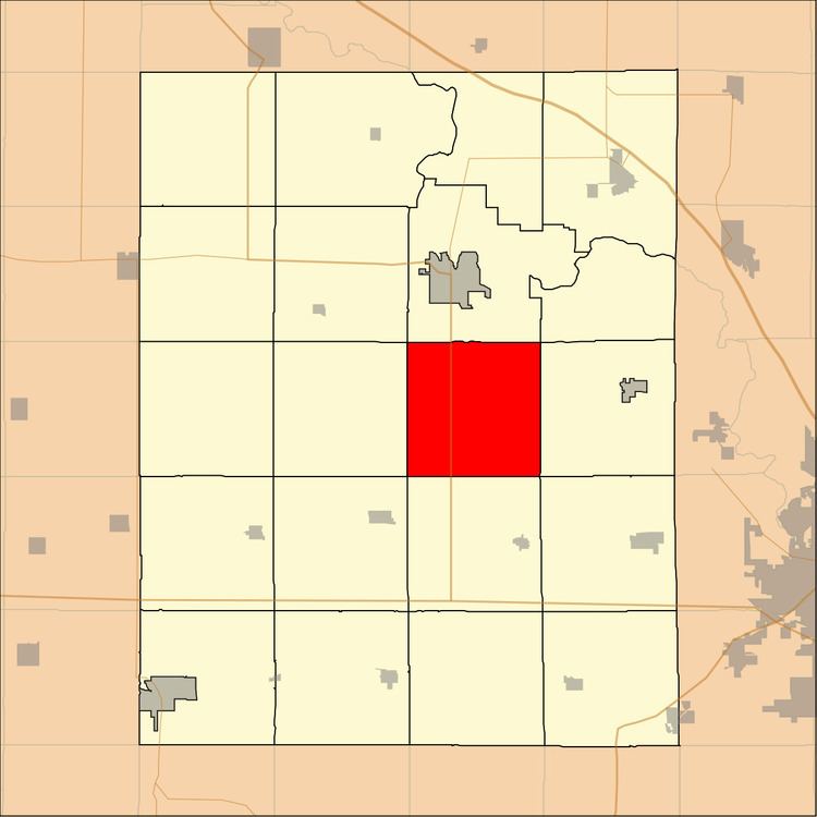
Eden Township is one of twenty townships in Benton County, Iowa, USA. As of the 2000 census, its population was 275.
Contents
- Map of Eden IA USA
- History
- Geography
- Unincorporated towns
- Adjacent townships
- Cemeteries
- Major highways
- School districts
- Political districts
- References
Map of Eden, IA, USA
History
Eden Township was founded in 1849.
Geography
According to the United States Census Bureau, Eden Township covers an area of 35.51 square miles (91.97 square kilometers).
Unincorporated towns
(This list is based on USGS data and may include former settlements.)
Adjacent townships
Cemeteries
The township contains these two cemeteries: Bellar and First Eden.
Major highways
School districts
Political districts
References
Eden Township, Benton County, Iowa Wikipedia(Text) CC BY-SA