
GNIS feature ID 0467452 Area 93.06 km² Population 230 (2000) | Time zone CST (UTC-6) Elevation 273 m Local time Wednesday 8:54 AM | |
 | ||
ZIP codes 52229, 52249, 52346, 52349 Weather 2°C, Wind NW at 35 km/h, 90% Humidity | ||
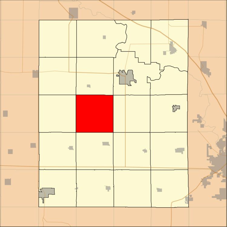
Big Grove Township is one of twenty townships in Benton County, Iowa, USA. As of the 2000 census, its population was 230.
Contents
- Map of Big Grove IA USA
- History
- Geography
- Unincorporated towns
- Adjacent townships
- Cemeteries
- School districts
- Political districts
- References
Map of Big Grove, IA, USA
History
Big Grove Township was organized in 1856.
Geography
According to the United States Census Bureau, Big Grove Township covers an area of 35.93 square miles (93.07 square kilometers).
Unincorporated towns
(This list is based on USGS data and may include former settlements.)
Adjacent townships
Cemeteries
The township contains these four cemeteries: Bishop Grove, Indian, LaRue and Van Metre.
School districts
Political districts
References
Big Grove Township, Benton County, Iowa Wikipedia(Text) CC BY-SA