
ZIP code 52349 Elevation 247 m Local time Friday 2:10 AM | Time zone CST (UTC-6) GNIS feature ID 0468010 Area 70.06 km² Population 354 (2000) | |
 | ||
Weather 4°C, Wind SE at 26 km/h, 71% Humidity | ||
Harrison Township is one of twenty townships in Benton County, Iowa, USA. As of the 2000 census, its population was 354.
Contents
- Map of Harrison IA USA
- History
- Geography
- Adjacent townships
- Cemeteries
- Major highways
- Landmarks
- School districts
- Political districts
- References
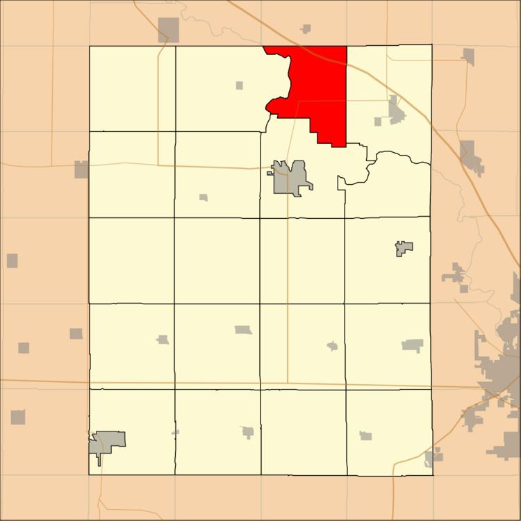
Map of Harrison, IA, USA
History
Harrison Township was founded in 1849.
Geography
According to the United States Census Bureau, Harrison Township covers an area of 27.05 square miles (70.07 square kilometers); of this, 26.57 square miles (68.81 square kilometers, 98.2 percent) is land and 0.48 square miles (1.25 square kilometers, 1.78 percent) is water.
Adjacent townships
Cemeteries
The township contains Bear Creek Cemetery.
Major highways
Landmarks
School districts
Political districts
References
Harrison Township, Benton County, Iowa Wikipedia(Text) CC BY-SA