
Country United States ZIP codes 50651, 52313, 52349 Elevation 255 m Population 533 (2000) | Time zone CST (UTC-6) GNIS feature ID 0467548 Area 111.9 km² Local time Tuesday 1:15 AM | |
 | ||
Weather 6°C, Wind W at 23 km/h, 73% Humidity | ||
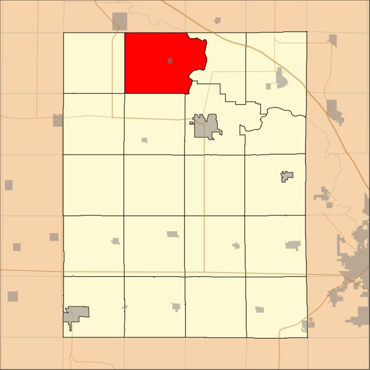
Cedar Township is one of twenty townships in Benton County, Iowa, USA. As of the 2000 census, its population was 533.
Contents
- Map of Cedar IA USA
- History
- Geography
- Cities towns villages
- Adjacent townships
- Cemeteries
- School districts
- Political districts
- References
Map of Cedar, IA, USA
History
Cedar Township was founded in 1851.
Geography
According to the United States Census Bureau, Cedar Township covers an area of 43.2 square miles (111.89 square kilometers); of this, 42.78 square miles (110.79 square kilometers, 99.02 percent) is land and 0.43 square miles (1.1 square kilometers, 0.98 percent) is water.
Cities, towns, villages
Adjacent townships
Cemeteries
The township contains these three cemeteries: Engledow, Greenwall and Mount Auburn.
School districts
Political districts
References
Cedar Township, Benton County, Iowa Wikipedia(Text) CC BY-SA