
ZIP codes 52324, 52332, 52349 Elevation 250 m Local time Wednesday 6:17 AM | Time zone CST (UTC-6) GNIS feature ID 0467528 Area 91.68 km² Population 847 (2000) | |
 | ||
Weather 3°C, Wind W at 35 km/h, 46% Humidity | ||
Canton Township is one of twenty townships in Benton County, Iowa, USA. As of the 2000 census, its population was 847.
Contents
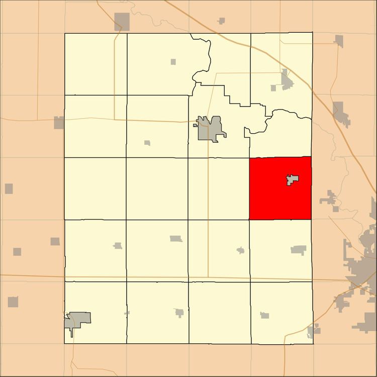
- Map of Canton IA USA
- History
- Geography
- Adjacent townships
- Cemeteries
- Landmarks
- School districts
- Political districts
- References
Map of Canton, IA, USA
History
Canton Township was founded in 1846.
Geography
According to the United States Census Bureau, Canton Township covers an area of 35.4 square miles (91.68 square kilometers); of this, 35.29 square miles (91.41 square kilometers, 99.71 percent) is land and 0.11 square miles (0.27 square kilometers, 0.29 percent) is water.
The city of Shellsburg is entirely within this township geographically but is a separate entity.
Adjacent townships
Cemeteries
The township contains these three cemeteries: Oakwood, Parkers Grove and Shellsburg.
Landmarks
School districts
Political districts
References
Canton Township, Benton County, Iowa Wikipedia(Text) CC BY-SA