
ZIP codes 52332, 52349 Elevation 283 m Local time Friday 6:14 AM | Time zone CST (UTC-6) GNIS feature ID 0467440 Area 58.46 km² Population 900 (2000) | |
 | ||
Weather -9°C, Wind NW at 3 km/h, 86% Humidity | ||
Benton Township is one of twenty townships in Benton County, Iowa, USA. As of the 2000 census, its population was 900.
Contents
- Map of Benton IA USA
- History
- Geography
- Extinct towns
- Adjacent townships
- Cemeteries
- Lakes
- Landmarks
- School districts
- Political districts
- References
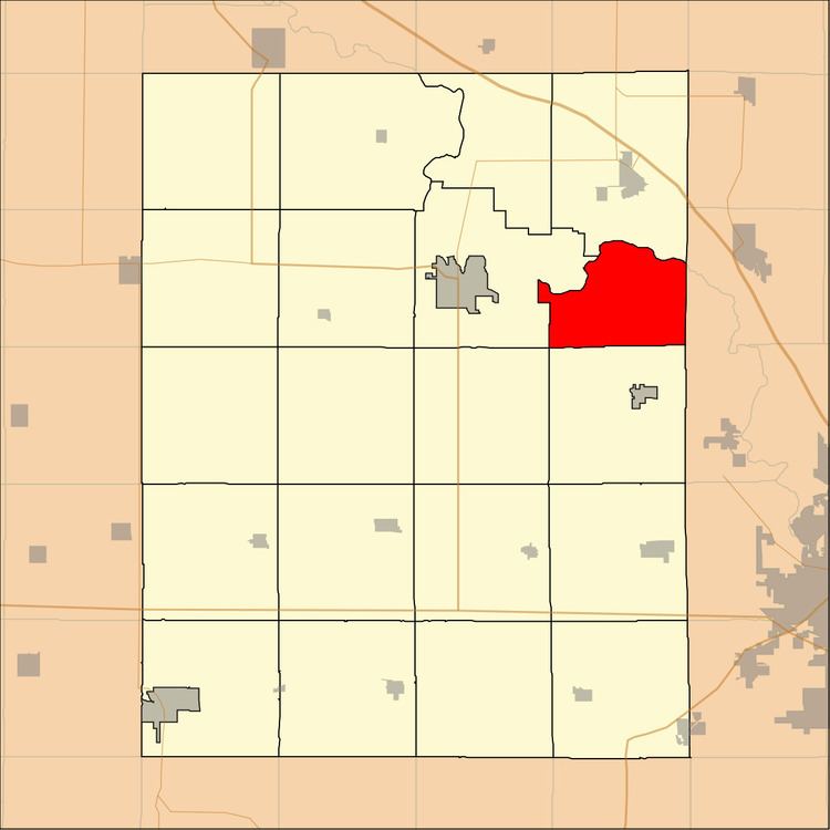
Map of Benton, IA, USA
History
Benton Township was founded in 1846.
Geography
According to the United States Census Bureau, Benton Township covers an area of 22.57 square miles (58.46 square kilometers); of this, 22.39 square miles (57.99 square kilometers, 99.2 percent) is land and 0.18 square miles (0.47 square kilometers, 0.8 percent) is water.
Extinct towns
(These towns are listed as "historical" by the USGS.)
Adjacent townships
Cemeteries
The township contains McBroom Cemetery.
Lakes
Landmarks
School districts
Political districts
References
Benton Township, Benton County, Iowa Wikipedia(Text) CC BY-SA