
Country United States GNIS feature ID 453854 Local time Friday 2:22 PM | FIPS code 18-70200 Elevation 285 m Population 1,613 (2010) | |
 | ||
Weather 22°C, Wind SW at 29 km/h, 56% Humidity Area 90.88 km² (90.62 km² Land / 26 ha Water) | ||
Smithfield Township is one of fifteen townships in DeKalb County, Indiana. As of the 2010 census, its population was 1,613 and it contained 719 housing units.
Contents
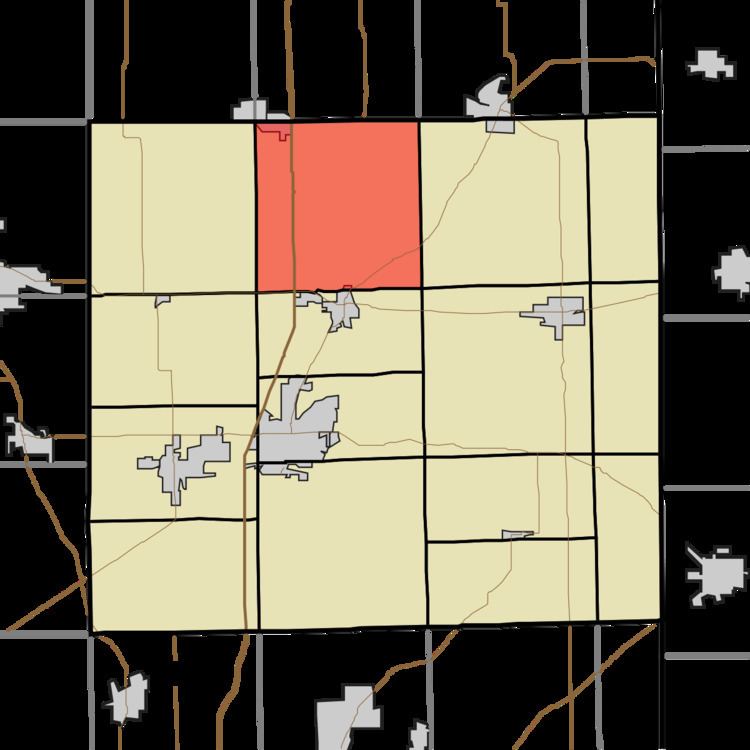
- Map of Smithfield Township IN USA
- History
- Geography
- Cities and towns
- Unincorporated towns
- Adjacent townships
- Major highways
- Cemeteries
- References
Map of Smithfield Township, IN, USA
History
Smithfield Township was named for Isaac B. Smith, a pioneer settler.
Geography
According to the 2010 census, the township has a total area of 35.09 square miles (90.9 km2), of which 34.99 square miles (90.6 km2) (or 99.72%) is land and 0.1 square miles (0.26 km2) (or 0.28%) is water. Cedar Lake is in this township.
Cities and towns
Unincorporated towns
Adjacent townships
Major highways
Cemeteries
The township contains two cemeteries: Barkers Chapel and Cedar Lake.
References
Smithfield Township, DeKalb County, Indiana Wikipedia(Text) CC BY-SA