
Country United States GNIS feature ID 453300 Local time Thursday 7:37 AM | FIPS code 18-25342 Elevation 281 m Population 1,182 (2010) | |
 | ||
Weather -7°C, Wind W at 11 km/h, 69% Humidity Area 91.12 km² (90.93 km² Land / 18 ha Water) | ||
Franklin Township is one of fifteen townships in DeKalb County, Indiana. As of the 2010 census, its population was 1,182 and it contained 502 housing units.
Contents
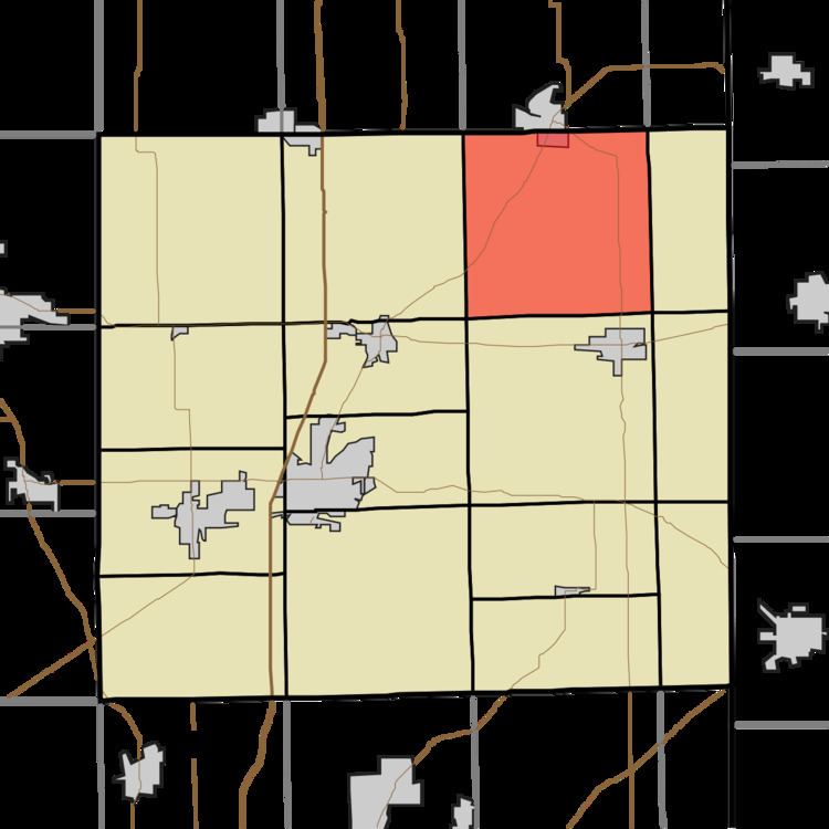
- Map of Franklin Township IN USA
- History
- Geography
- Cities and towns
- Unincorporated towns
- Adjacent townships
- Major highways
- Cemeteries
- References
Map of Franklin Township, IN, USA
History
Franklin Township was organized in 1837, making it the oldest township in DeKalb County.
Geography
According to the 2010 census, the township has a total area of 35.18 square miles (91.1 km2), of which 35.11 square miles (90.9 km2) (or 99.80%) is land and 0.07 square miles (0.18 km2) (or 0.20%) is water. Terry Lake is in this township.
Cities and towns
Unincorporated towns
(This list is based on USGS data and may include former settlements.)
Adjacent townships
Major highways
Cemeteries
The township contains one cemetery, Rude.
References
Franklin Township, DeKalb County, Indiana Wikipedia(Text) CC BY-SA