
Country United States GNIS feature ID 454061 Area 93.19 km² Population 4,128 (2010) | FIPS code 18-84590 Elevation 259 m Local time Monday 2:46 PM | |
 | ||
Weather 13°C, Wind E at 13 km/h, 74% Humidity | ||
Wilmington Township is one of fifteen townships in DeKalb County, Indiana. As of the 2010 census, its population was 4,128 and it contained 1,623 housing units.
Contents
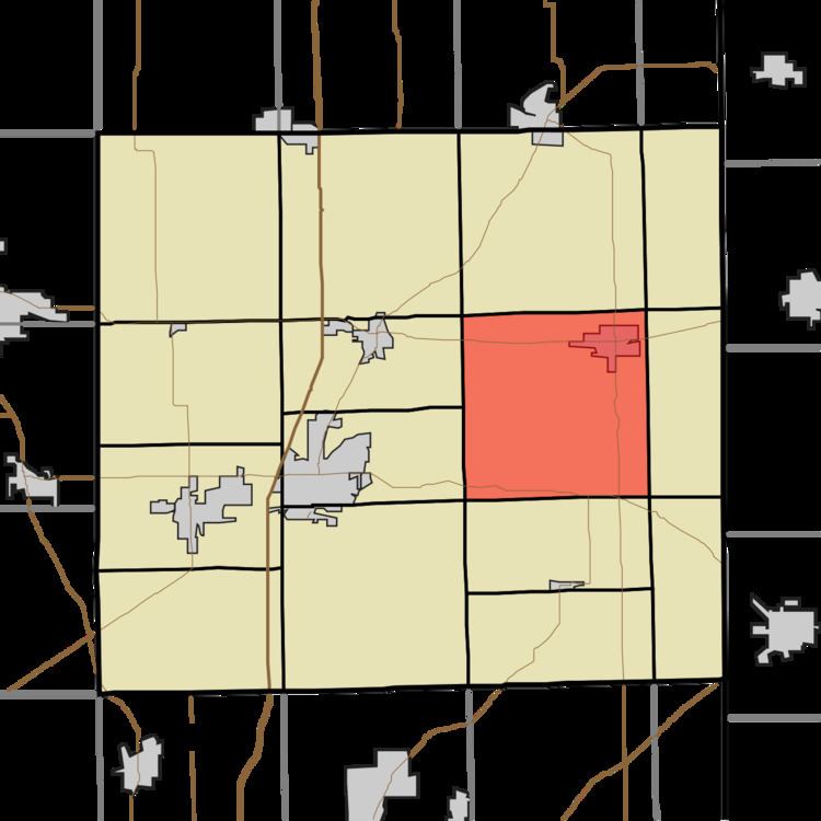
- Map of Wilmington Township IN USA
- History
- Geography
- Cities and towns
- Unincorporated towns
- Adjacent townships
- Major highways
- Cemeteries
- References
Map of Wilmington Township, IN, USA
History
Wilmington Township was organized in 1837.
Geography
According to the 2010 census, the township has a total area of 35.98 square miles (93.2 km2), of which 35.97 square miles (93.2 km2) (or 99.97%) is land and 0.01 square miles (0.026 km2) (or 0.03%) is water.
Cities and towns
Unincorporated towns
Adjacent townships
Major highways
Cemeteries
The township contains two cemeteries: Kraft and Krontz.
References
Wilmington Township, DeKalb County, Indiana Wikipedia(Text) CC BY-SA