
Country United States GNIS feature ID 453335 Local time Saturday 9:19 AM | State Indiana FIPS code 18-28836 Elevation 272 m Population 3,245 (2010) | |
 | ||
Weather 2°C, Wind W at 14 km/h, 89% Humidity Area 45.3 km² (45.25 km² Land / 5 ha Water) | ||
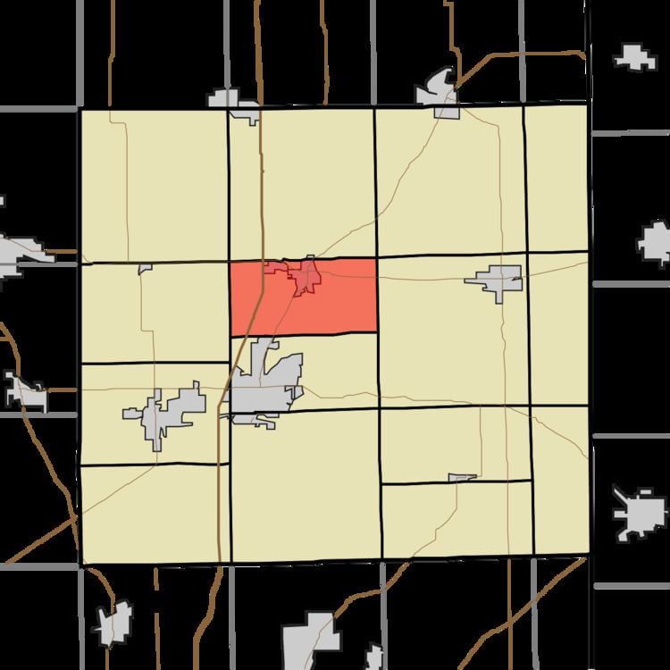
Grant Township is one of fifteen townships in DeKalb County, Indiana. As of the 2010 census, its population was 3,245 and it contained 1,309 housing units.
Contents
- Map of Grant Township IN USA
- Geography
- Cities and towns
- Adjacent townships
- Major highways
- Cemeteries
- References
Map of Grant Township, IN, USA
Geography
According to the 2010 census, the township has a total area of 17.49 square miles (45.3 km2), of which 17.47 square miles (45.2 km2) (or 99.89%) is land and 0.02 square miles (0.052 km2) (or 0.11%) is water.
Cities and towns
Adjacent townships
Major highways
Cemeteries
The township contains three cemeteries: Lutz, Ridge and Tamarack.
References
Grant Township, DeKalb County, Indiana Wikipedia(Text) CC BY-SA