
Country United States Elevation 288 m Population 2,575 (2010) | GNIS feature ID 453697 Area 90.08 km² Local time Monday 5:53 PM | |
 | ||
Weather 14°C, Wind W at 6 km/h, 74% Humidity | ||
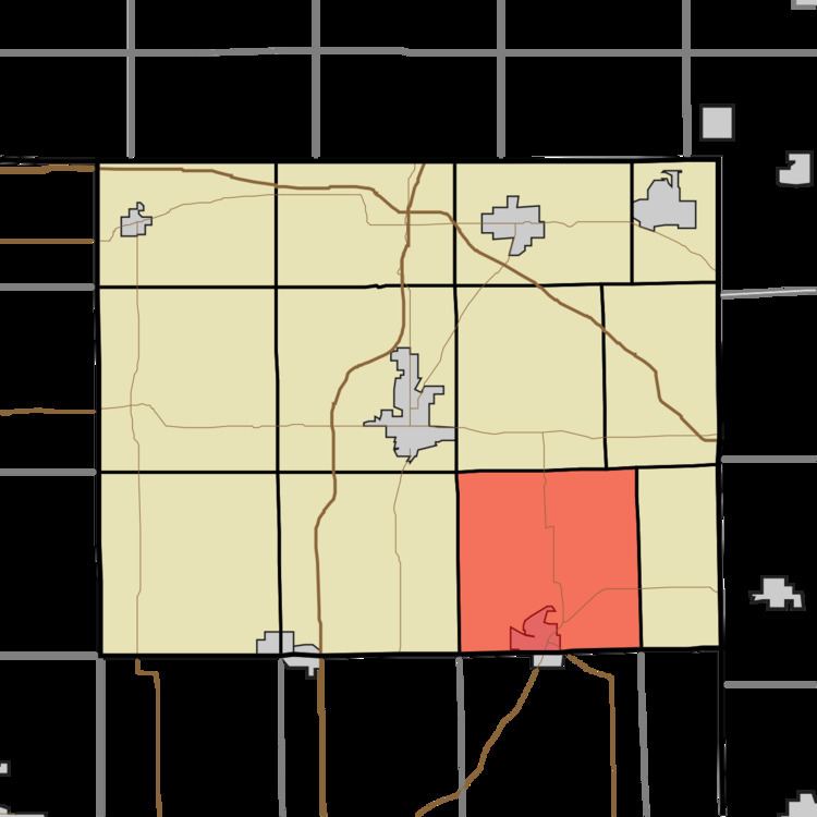
Otsego Township is one of twelve townships in Steuben County, Indiana, United States. As of the 2010 census, its population was 2,575 and it contained 1,839 housing units.
Contents
- Map of Otsego Township IN USA
- Geography
- Cities and towns
- Unincorporated towns
- Adjacent townships
- Cemeteries
- Major highways
- References
Map of Otsego Township, IN, USA
Geography
According to the 2010 census, the township has a total area of 34.78 square miles (90.1 km2), of which 33.54 square miles (86.9 km2) (or 96.43%) is land and 1.24 square miles (3.2 km2) (or 3.57%) is water. Lakes in this township include Ball Lake, Fee Lake, Hamilton Lake, Jackson Lake, Johnson Lake and Round Lake. The stream of Black Creek runs through this township.
Cities and towns
Unincorporated towns
(This list is based on USGS data and may include former settlements.)
Adjacent townships
Cemeteries
The township contains five cemeteries: Carter, Hamilton, North Otsego, Otsego Center and Teegardin.
Major highways
References
Otsego Township, Steuben County, Indiana Wikipedia(Text) CC BY-SA