
Country United States Elevation 294 m Local time Monday 4:11 PM | GNIS feature ID 453874 Area 89.33 km² Population 2,835 (2010) | |
 | ||
Weather 14°C, Wind SW at 8 km/h, 74% Humidity | ||
Steuben Township is one of twelve townships in Steuben County, Indiana, United States. As of the 2010 census, its population was 2,835 and it contained 1,385 housing units.
Contents
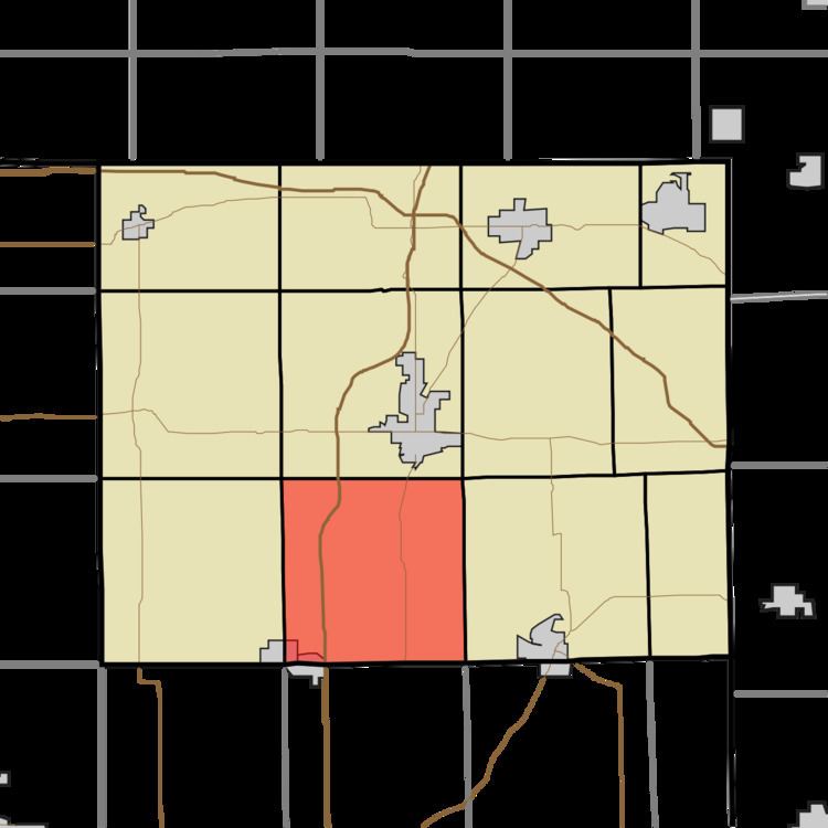
- Map of Steuben Township IN USA
- History
- Geography
- Cities and towns
- Unincorporated towns
- Adjacent townships
- Cemeteries
- Major highways
- References
Map of Steuben Township, IN, USA
History
The Cornish Griffin Round Barn and Pleasant Lake Depot are listed on the National Register of Historic Places.
Geography
According to the 2010 census, the township has a total area of 34.49 square miles (89.3 km2), of which 33.77 square miles (87.5 km2) (or 97.91%) is land and 0.72 square miles (1.9 km2) (or 2.09%) is water. Lakes in this township include Bower Lake, Golden Lake, Gooseneck Lake, Jonley Lake, Little Bower Lake, Long Lake, Meserve Lake, Mink Lake, Mud Lake, Perfect Lake, Pleasant Lake, Reed Lakes and Tamarack Lake. The stream of Mud Creek runs through this township.
Cities and towns
Unincorporated towns
(This list is based on USGS data and may include former settlements.)
Adjacent townships
Cemeteries
The township contains three cemeteries: Matson, Mount Zion and Pleasant Lake.