
Country United States GNIS feature ID 453284 Local time Sunday 1:33 AM | FIPS code 18-22288 Elevation 292 m Population 1,368 (2010) | |
 | ||
Weather -7°C, Wind N at 16 km/h, 62% Humidity Area 93.19 km² (92.36 km² Land / 80 ha Water) | ||
Fairfield Township is one of fifteen townships in DeKalb County, Indiana. As of the 2010 census, its population was 1,368 and it contained 691 housing units.
Contents
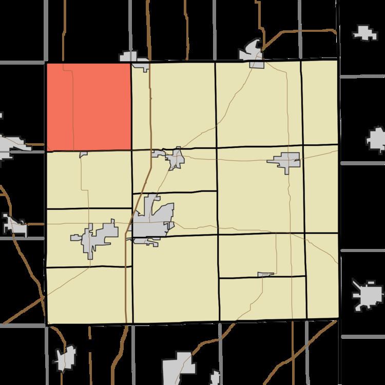
- Map of Fairfield Township IN USA
- History
- Geography
- Unincorporated towns
- Adjacent townships
- Major highways
- References
Map of Fairfield Township, IN, USA
History
Fairfield Township was founded in 1844.
The Maria and Franklin Wiltrout Polygonal Barn was added to the National Register of Historic Places in 1993.
Geography
According to the 2010 census, the township has a total area of 35.98 square miles (93.2 km2), of which 35.66 square miles (92.4 km2) (or 99.11%) is land and 0.31 square miles (0.80 km2) (or 0.86%) is water. Indian Lake, Lower Story Lake and Upper Story Lake are in this township.
Unincorporated towns
Adjacent townships
Major highways
References
Fairfield Township, DeKalb County, Indiana Wikipedia(Text) CC BY-SA