
Founded 1781 Unemployment rate 4.5% (Apr 2015) | Congressional district At-large Area 2,448 km² Population 60,622 (2013) | |
 | ||
Colleges and Universities Castleton University, College of St Joseph, Green Mountain College Points of interest Pico Mountain Ski Area, Killington Ski Resort, Wilson Castle, Vermont Marble Museum, Hildene | ||
Rutland County is a county located in the state of Vermont, in the United States. As of the 2010 census, the population was 61,642, making it the second-most populous county in Vermont. Its county seat and most populous municipality is the city of Rutland. It is named after the English county of Rutland.
Contents
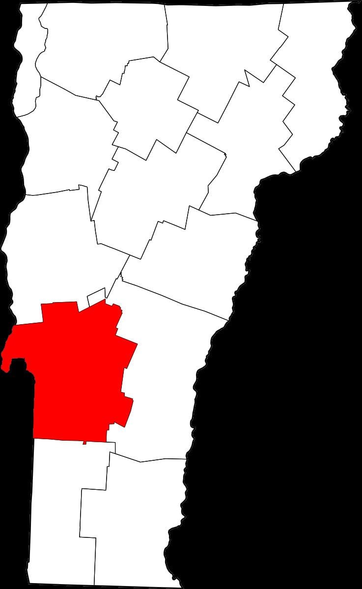
- Map of Rutland County VT USA
- History
- Geography
- Adjacent counties
- National protected areas
- Demographics
- Air
- Rail
- Bus
- Highway
- City
- Villages
- References
Map of Rutland County, VT, USA
History
On 16 February 1781 Rutland County was created from Bennington County. From 26 June 1781 until 23 February 1782, Vermont attempted to annex part of New York east of the Hudson River (the so-called West Union); inhabitants in the area favored Vermont's township form of government, while Vermont hoped to gain bargaining power through expansion. New York did not lose control of the area. For almost seven months Rutland County included part of Charlotte County (now Washington County), New York.
In February 1783 Orange County gained the towns of Brookfield and Randolph and Windsor County gained the towns of Bethel and Rochester from Rutland. On 18 October 1785 Addison County was created from Rutland.
On 27 February 1787 Windsor County gained the town of Stockbridge from Rutland, then on 31 October 1792 Rutland gained from Windsor County when the town of Mount Holly was created from Jackson's Gore and the towns of Ludlow and Wallingford. Windsor County gained Benton's Gore from Rutland on 2 March 1797.
On 25 October 1805 Rutland County gained from Bennington County when the town of Mount Tabor gained from the town of Peru. On 29 October 1806 Windsor County gained from Rutland County when the town of Rochester gained a small area from the town of Pittsfield. On 15 November 1813 the county gained from Windsor County when the town of Pittsfield gained a small area from the town of Stockbridge, a change too small to appear on maps. On 9 November 1814 Addison County gained from Rutland County when the town of Goshen gained from the town of Philadelphia. On 22 October 1822 the county gained from Windsor County when the town of Pittsfield gained a small area from the town of Stockbridge. On 3 November 1823 it gained from Windsor County again when the town of Shrewsbury gained a small area from the town of Plymouth. On 15 November 1824 Windsor County gained from Rutland County when the town of Rochester gained a small area from the town of Pittsfield. On 17 November 1825 Bennington County gained from the county when the town of Dorset gained a small area from the town of Mount Tabor.
On 7 November 1839 the Legislature authorized Addison County to gain a small area from Rutland County when the town of Whiting was to gain from the town of Orwell. But there is no evidence that a change took effect. Addison County gained the town of Orwell from Rutland County on 1 December 1847. On 6 March 1855 Addison County gained another small area from the county when the town of Goshen gained "Clemens Land" from the town of Brandon.
On 10 November 1870 the Legislature authorized Rutland County to gain a small area from Windsor County when the town of Mount Holly was to gain from the town of Weston. But there is no evidence that the change took effect. On 7 April 1880 the county lost to Washington County, New York, when New York gained a small area west of the village of Fair Haven from Vermont due to a change in the course of the Poultney River, a change too small to see on most maps. On 21 November 1884 Windsor County gained a small area from Rutland County when the town of Stockbridge gained Parker's Gore. On 8 October 1895 Windsor County gained from the county when the town of Weston gained from the town of Mount Tabor.
Geography
According to the U.S. Census Bureau, the county has a total area of 945 square miles (2,450 km2), of which 930 square miles (2,400 km2) is land and 15 square miles (39 km2) (1.6%) is water. It is the second-largest county in Vermont by area. The primary stream of the county is Otter Creek, which runs through the county from the south to the north.
Adjacent counties
National protected areas
Demographics
As of the 2010 United States Census, there were 61,642 people, 25,984 households, and 16,018 families residing in the county. The population density was 66.3 inhabitants per square mile (25.6/km2). There were 33,768 housing units at an average density of 36.3 per square mile (14.0/km2). The racial makeup of the county was 97.1% white, 0.6% Asian, 0.5% black or African American, 0.2% American Indian, 0.2% from other races, and 1.3% from two or more races. Those of Hispanic or Latino origin made up 1.1% of the population. In terms of ancestry, 22.6% were Irish, 16.1% were English, 10.7% were Italian, 10.0% were German, 6.7% were Polish, 5.7% were American, and 5.2% were French Canadian.
Of the 25,984 households, 25.9% had children under the age of 18 living with them, 47.3% were married couples living together, 9.9% had a female householder with no husband present, 38.4% were non-families, and 30.2% of all households were made up of individuals. The average household size was 2.28 and the average family size was 2.81. The median age was 44.3 years.
The median income for a household in the county was $47,027 and the median income for a family was $58,790. Males had a median income of $40,638 versus $34,580 for females. The per capita income for the county was $25,426. About 8.1% of families and 11.8% of the population were below the poverty line, including 15.2% of those under age 18 and 8.5% of those age 65 or over.
Air
The Rutland – Southern Vermont Regional Airport is located just south of Rutland city in North Clarendon. It is a commercial airport providing three flights daily to Boston.
Rail
Passenger rail service is provided by Amtrak via the Ethan Allen Express which connects Rutland with Albany and New York City. There are two train stations in Rutland County served by this route: the Castleton station and Rutland station.
Bus
The Marble Valley Regional Transit District provides "The Bus" with service to the city of Rutland and the towns of Rutland, West Rutland, Castleton, Fair Haven, Poultney, Proctor, and Killington, as well as commuter service to Ludlow, Middlebury and Manchester.
Premier Coach's Vermont Translines serves Rutland daily with two intercity bus connections between Burlington, Lebanon, New Hampshire and Albany, New York in a partnership with Greyhound. They also serve Wallingford, Brandon, Mendon and Killington along the two routes.