
Length 180.5 km | ||
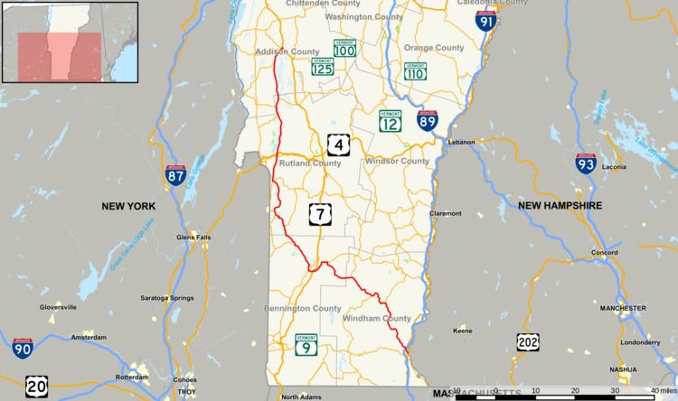 | ||
Counties Windham County, Vermont, Bennington County, Vermont, Rutland County, Vermont, Addison County, Vermont | ||
Vermont Route 30 (VT 30) is a north–south state highway in the U.S. state of Vermont which runs from Brattleboro in the south to Middlebury in the north. The northern portion, from Poultney to Middlebury, was part of the New England road marking system's Route 30, from which VT 30 got its number. The route passes through many historic small towns, and travel writers such as those at Southern Vermont have described the route as "idyllic" and "picturesque".
Contents
Map of VT-30, Vermont, USA
Route description
In Poultney, VT 30 passes along the eastern edge of Lake St. Catherine State Park. To the north in Hubbardton, VT 30 runs along the eastern shore of Lake Bomoseen. In Middlebury, VT 30 serves Middlebury College.
History
From 1922 until 1926, New England Route 30 (part of the New England road marking system) ran from Granville, New York, through Poultney (via New York State Route 22A), continuing north through Burlington, to Alburg. The northern sections of Route 30 were assigned in 1926 to U.S. Route 7 (US 7) from Middlebury to Burlington, and to US 2 from Burlington to Alburg. Soon afterwards, Vermont extended the Route 30 designation southeast to its current Brattleboro terminus. (VT 30 to Brattleboro had been in place by 1933.) In August 2011, Hurricane Irene heavily damaged large sections of VT 30 and made it impassable for a period of time.