
Country United States County Addison FIPS code 50-28600 Elevation 508 m Population 164 (2010) Area code 802 | State Vermont Time zone Eastern (EST) (UTC-5) GNIS feature ID 1462104 Zip code 05733 Local time Friday 5:13 AM | |
 | ||
Weather -10°C, Wind N at 3 km/h, 53% Humidity Area 53.87 km² (53.61 km² Land / 52 ha Water) | ||
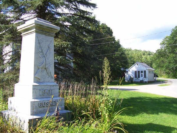
Goshen /ˈɡoʊʃən/ is a town in Addison County, Vermont, United States. The population was 164 at the 2010 census.
Contents
Map of Goshen, VT, USA
Geography
Goshen is located in southern Addison County, within the Green Mountains. It is bordered by the town of Leicester to the west, Salisbury to the northwest, Ripton to the north, and Hancock to the northeast. To the east is the town of Rochester in Windsor County, and to the south and southwest, in Rutland County, are the towns of Chittenden and Brandon, respectively.
Settlements in the town include Goshen, near the town's western border, and Goshen Four Corners, in the center of the southern part of town. Vermont Route 73 runs east–west through Goshen, passing through Goshen Four Corners, and crossing the crest of the Green Mountains at Brandon Gap (elevation 2,183 ft or 665 m) near the town's east border. The Long Trail crosses Route 73 at Brandon Gap and passes over the summits of Mount Horrid (3,216 ft or 980 m) and Cape Lookoff Mountain (3,350 ft or 1,020 m) within Goshen. Goshen Mountain (3,292 ft or 1,003 m) is in the southeast corner of the town. Most of Goshen lies within the Green Mountain National Forest.
According to the United States Census Bureau, Goshen has a total area of 20.8 square miles (53.9 km2), of which 20.7 square miles (53.5 km2) is land and 0.15 square miles (0.4 km2), or 0.78%, is water.
Demographics
As of the census of 2000, there were 227 people, 84 households, and 57 families residing in the town. The population density was 10.7 people per square mile (4.1/km2). There were 114 housing units at an average density of 5.4 per square mile (2.1/km2). The racial makeup of the town was 96.48% White, 0.44% African American, 0.44% Native American, 0.88% Asian, 0.88% from other races, and 0.88% from two or more races. Hispanic or Latino of any race were 0.88% of the population.
There were 84 households out of which 33.3% had children under the age of 18 living with them, 59.5% were married couples living together, and 32.1% were non-families. 17.9% of all households were made up of individuals and 8.3% had someone living alone who was 65 years of age or older. The average household size was 2.70 and the average family size was 3.07.
In the town, the age distribution of the population shows 26.4% under the age of 18, 4.0% from 18 to 24, 22.9% from 25 to 44, 37.4% from 45 to 64, and 9.3% who were 65 years of age or older. The median age was 43 years. For every 100 females there were 108.3 males. For every 100 females age 18 and over, there were 111.4 males.
The median income for a household in the town was $36,500, and the median income for a family was $58,750. Males had a median income of $32,500 versus $25,938 for females. The per capita income for the town was $17,031. None of the families and 9.3% of the population were living below the poverty line, including no under eighteens and 45.5% of those over 64.