
Length 14.98 km | ||
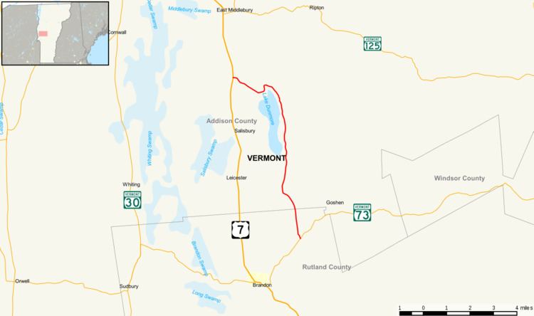 | ||
Vermont Route 53 (VT 53) is a state highway in central Vermont, United States. It is a town-maintained highway that extends from VT 73 in the Forest Dale section of Brandon north to U.S. Route 7 in Salisbury. VT 53 is named Lake Dunmore Road and runs around the north and east of Lake Dunmore, passing Branbury State Park.
Contents
Map of State Rte 53, Salisbury, VT 05769, USA
Route description
Route 53 begins at the junction with Route 73 in Forest Dale. The road continues north as North Street along the western edges of Mount Carmel State Forest, before bending to the northwest and then northeast as Lake Dunmore Road. After passing by Fern Lake to the west, Route 53 continues into the state forest, passing through Dunmore Acres and along the eastern shoreline of Lake Dunmore. At the north end of the lake, Route 53 turns to the west, leaving the forest and the lake shoreline as it ends at US 7.
VT 53 was heavily damaged by storms in 2008, with a bridge destroyed immediately south of Branbury State Park with no detour possible.