
Length 320 km | - elevation 755 ft (230 m) | |
 | ||
The Platte River is a tributary of the Missouri River, about 200 miles (320 km) long, in southwestern Iowa and northwestern Missouri in the United States. It is sometimes known as the Little Platte River to distinguish it from the larger Platte River, also a tributary of the Missouri, in nearby Nebraska; the Platte River of Missouri itself has a tributary known as the "Little Platte River".
Contents
Map of Platte River, United States
CourseEdit
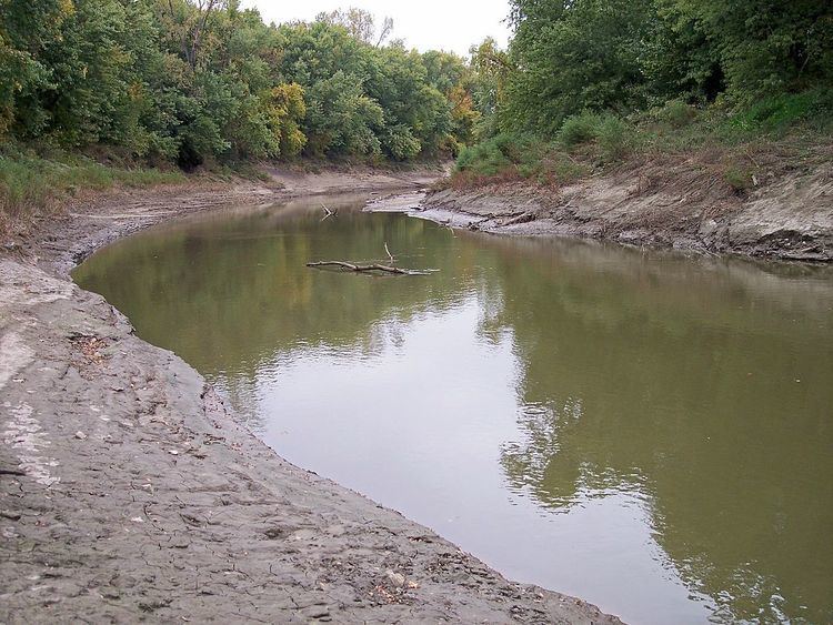
The Platte River rises near Creston in Union County, Iowa, and flows generally southwardly through Adams, Ringgold and Taylor Counties in Iowa; and Worth, Nodaway, Andrew, Buchanan and Platte Counties in Missouri. Along its course it passes the Iowa towns of Maloy, Blockton and Athelstan; and the Missouri towns of Sheridan, Parnell, Ravenwood, Conception Junction, Guilford, Tracy, Platte City and Farley. The Platte flows into the Missouri River near Farley, downstream of Leavenworth, Kansas.
Several sections of the river's course have been straightened and channelized.
TributariesEdit
HistoryEdit
When Missouri entered the union in 1821, the western border of Missouri from Arkansas to Iowa was based on the confluence of the Kansas River and Missouri River in the West Bottoms in Kansas City. Land in what is now the northwest Missouri was deeded to the Ioway, Sac and Fox tribes.
However, settlers (most notably Joseph Robidoux in St. Joseph, Missouri) began encroaching on the land. Further settlers in northern Missouri were upset about being cut off from the Missouri.
In 1836, William Clark (of Lewis and Clark) persuaded the tribes to sell their lands in northwest Missouri. The deal known as the Platte Purchase was named for the river was ratified in 1837 and the tribes were paid $7,500 for an area about the combined size of Delaware and Rhode Island. The land was then annexed to Missouri.
In 1838 settlers used the river (and the Nodaway River) to reach the heart of the newly available land. The Platte River is not used for transportation in modern times although Missouri River steam boats did call on Tracy, Missouri.
On September 3, 1861, bushwhackers burned a bridge over the river at St. Joseph, Missouri, derailing a Hannibal & St. Joseph Railroad train killing between 17 and 20 and injuring 200 in one of the worst attacks on a passenger train in the Platte Bridge Railroad Tragedy during the American Civil War. Union forces were to burn Platte City, Missouri in 1861 and 1864 as they tried to force the residents to give up Silas M. Gordon, the suspected ringleader of the attack.
The river is the biggest river in the Platte Purchase area and it flows through the Kansas City Metropolitan Area as well as St. Joseph, Missouri metropolitan area. The river is an eighth order river.
Average flow at mile 25.1 is 1,925 cubic feet second (54.5 m3/s). The highest flow was 37,800 ft3/s (1070 m3/s) during the Great Flood of 1993 on July 26, 1993. The lowest flow was 12 ft3/s (0.33 m/s) during a drought in August 1989.