
Area 1,386 km² Population 6,161 (2013) Unemployment rate 2.9% (Apr 2015) | Founded 1847 | |
 | ||
Website www.taylorcountyiowa.org Rivers Platte River, Platte Branch, Beard Branch, Norvey Creek | ||
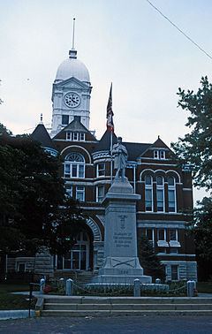
Taylor County is a county located in the U.S. state of Iowa. As of the 2010 census, the population was 6,317, making it the fourth-least populous county in Iowa. The county seat is Bedford. The county was formed in 1847 and named after General and President Zachary Taylor.
Contents
- Map of Taylor County IA USA
- Geography
- Major highways
- Adjacent counties
- 2010 census
- 2000 census
- Census designated place
- Population ranking
- References
Map of Taylor County, IA, USA
Geography
According to the U.S. Census Bureau, the county has a total area of 535 square miles (1,390 km2), of which 532 square miles (1,380 km2) is land and 2.8 square miles (7.3 km2) (0.5%) is water.
A portion of Taylor County at one time was part of Missouri.
Major highways
Adjacent counties
2010 census
The 2010 census recorded a population of 6,317 in the county, with a population density of 11.8307/sq mi (4.5679/km2). There were 3,107 housing units, of which 2,679 were occupied.
2000 census
As of the census of 2000, there were 6,958 people, 2,824 households, and 1,911 families residing in the county. The population density was 13 people per square mile (5/km²). There were 3,199 housing units at an average density of 6 per square mile (2/km²). The racial makeup of the county was 97.71% White, 0.03% Black or African American, 0.10% Native American, 0.30% Asian, 0.06% Pacific Islander, 1.14% from other races, and 0.66% from two or more races. 3.81% of the population were Hispanic or Latino of any race.
There were 2,824 households out of which 28.00% had children under the age of 18 living with them, 59.00% were married couples living together, 5.90% had a female householder with no husband present, and 32.30% were non-families. 27.80% of all households were made up of individuals and 16.10% had someone living alone who was 65 years of age or older. The average household size was 2.40 and the average family size was 2.94.
In the county, the population was spread out with 23.90% under the age of 18, 7.50% from 18 to 24, 23.40% from 25 to 44, 22.80% from 45 to 64, and 22.40% who were 65 years of age or older. The median age was 42 years. For every 100 females there were 94.10 males. For every 100 females age 18 and over, there were 92.00 males.
The median income for a household in the county was $31,297, and the median income for a family was $37,194. Males had a median income of $26,631 versus $19,162 for females. The per capita income for the county was $15,082. About 8.50% of families and 12.10% of the population were below the poverty line, including 13.10% of those under age 18 and 15.20% of those age 65 or over.
Census-designated place
Population ranking
The population ranking of the following table is based on the 2010 census of Taylor County.
† county seat