
Website www.clintoncomo.org Founded 1833 Unemployment rate 4.9% (Apr 2015) | Area 1,096 km² Population 20,571 (2013) | |
 | ||
Rivers Little Platte River, Wolfpen Creek | ||
Clinton County is a county located in the U.S. state of Missouri. As of the 2010 census, the county had a population of 20,743. Its county seat is Plattsburg. The county was organized January 2, 1833 and named for Governor DeWitt Clinton of New York. The county seat of Plattsburg derives it name from a town of a similar name that is the county seat of Clinton County, New York, which was also named for the Governor.
Contents
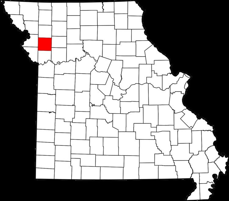
- Map of Clinton County MO USA
- Geography
- Adjacent counties
- Major highways
- Demographics
- Public schools
- Local
- State
- Federal
- Missouri Presidential Preference Primary 2008
- References
Map of Clinton County, MO, USA
Clinton County is part of the Kansas City, MO-KS Metropolitan Statistical Area.
Geography
According to the U.S. Census Bureau, the county has a total area of 423 square miles (1,100 km2), of which 419 square miles (1,090 km2) is land and 4.5 square miles (12 km2) (1.1%) is water.
Adjacent counties
Major highways
Demographics
As of the census of 2000, there were 18,979 people, 7,152 households, and 5,299 families residing in the county. The population density was 45 people per square mile (18/km²). There were 7,877 housing units at an average density of 19 per square mile (7/km²). The racial makeup of the county was 96.58% White, 1.52% Black or African American, 0.34% Native American, 0.17% Asian, 0.01% Pacific Islander, 0.27% from other races, and 1.12% from two or more races. Approximately 1.08% of the population were Hispanic or Latino of any race.
There were 7,152 households out of which 34.90% had children under the age of 18 living with them, 61.40% were married couples living together, 8.80% had a female householder with no husband present, and 25.90% were non-families. 22.00% of all households were made up of individuals and 10.50% had someone living alone who was 65 years of age or older. The average household size was 2.59 and the average family size was 3.03.
In the county, the population was spread out with 26.80% under the age of 18, 7.40% from 18 to 24, 28.20% from 25 to 44, 23.50% from 45 to 64, and 14.10% who were 65 years of age or older. The median age was 38 years. For every 100 females there were 96.00 males. For every 100 females age 18 and over, there were 91.60 males.
The median income for a household in the county was $41,629, and the median income for a family was $48,244. Males had a median income of $36,307 versus $22,991 for females. The per capita income for the county was $19,056. About 7.30% of families and 9.30% of the population were below the poverty line, including 11.30% of those under age 18 and 12.70% of those age 65 or over.
Public schools
Local
The Democratic Party predominantly controls politics at the local level in Clinton County. Democrats hold all but three of the elected positions in the county.
State
Clinton County is divided into two legislative districts in the Missouri House of Representatives, both of which are held by Republicans.
All of Clinton County is a part of Missouri’s 12th District in the Missouri Senate and is currently represented by Brad Lager (R-Savannah).
Federal
All of Clinton County is included in Missouri’s 6th Congressional District and is currently represented by Sam Graves (R-Tarkio) in the U.S. House of Representatives.