
Country United States FIPS code 29-15922 Elevation 306 m Zip code 64434 Local time Saturday 3:54 AM | Time zone Central (CST) (UTC-6) GNIS feature ID 0716167 Area 80 ha Population 196 (2013) Area code 660 | |
 | ||
Weather -1°C, Wind SE at 5 km/h, 74% Humidity | ||
Conception Junction is a city in Nodaway County, Missouri, United States, near the Platte River. The population was 198 at the 2010 census, at which time it was a town.
Contents
Map of Conception Junction, MO 64434, USA
History
New Conception was laid out in 1895 when the railroad was extended to the site. A post office called Conception Junction has been in operation since 1907.
Geography
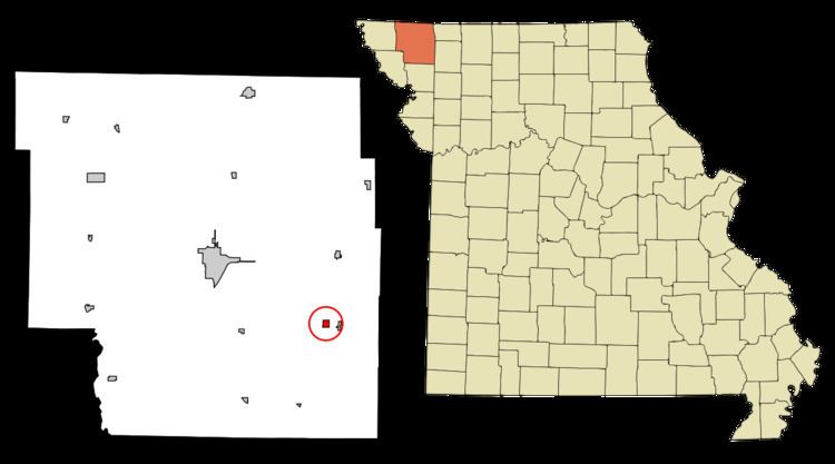
Conception Junction was named for a railroad junction between the Wabash and the Chicago Great Western Railroads. Both lines are now gone. Nearby is Conception, Missouri, home of Conception Abbey. Conception Junction is located at 40°16′2″N 94°41′24″W (40.267197, -94.689884). According to the United States Census Bureau, the city has a total area of 0.31 square miles (0.80 km2), all of it land.
2010 census
As of the census of 2010, there were 198 people, 78 households, and 48 families residing in the city. The population density was 638.7 inhabitants per square mile (246.6/km2). There were 97 housing units at an average density of 312.9 per square mile (120.8/km2). The racial makeup of the city was 100.0% White.
There were 78 households of which 38.5% had children under the age of 18 living with them, 51.3% were married couples living together, 6.4% had a female householder with no husband present, 3.8% had a male householder with no wife present, and 38.5% were non-families. 33.3% of all households were made up of individuals and 12.8% had someone living alone who was 65 years of age or older. The average household size was 2.54 and the average family size was 3.33.
The median age in the city was 34.3 years. 33.3% of residents were under the age of 18; 4.6% were between the ages of 18 and 24; 27.4% were from 25 to 44; 23.8% were from 45 to 64; and 11.1% were 65 years of age or older. The gender makeup of the city was 52.5% male and 47.5% female.
2000 census
As of the census of 2000, there were 202 people, 83 households, and 55 families residing in the town. The population density was 644.4 people per square mile (251.6/km²). There were 94 housing units at an average density of 299.9 per square mile (117.1/km²). The racial makeup of the town was 97.03% White, and 2.97% from two or more races.
There were 83 households out of which 33.7% had children under the age of 18 living with them, 49.4% were married couples living together, 9.6% had a female householder with no husband present, and 33.7% were non-families. 32.5% of all households were made up of individuals and 22.9% had someone living alone who was 65 years of age or older. The average household size was 2.42 and the average family size was 3.05.
In the town the population was spread out with 27.7% under the age of 18, 8.4% from 18 to 24, 24.3% from 25 to 44, 21.3% from 45 to 64, and 18.3% who were 65 years of age or older. The median age was 38 years. For every 100 females there were 104.0 males. For every 100 females age 18 and over, there were 105.6 males.
The median income for a household in the town was $29,219, and the median income for a family was $32,083. Males had a median income of $26,250 versus $21,875 for females. The per capita income for the town was $12,563. About 8.8% of families and 15.3% of the population were below the poverty line, including 22.2% of those under the age of eighteen and 21.4% of those sixty five or over.