
Country United States FIPS code 29-23698 Elevation 236 m Zip code 64028 Local time Thursday 9:54 AM | Time zone Central (CST) (UTC-6) GNIS feature ID 0717848 Area 3.19 km² Population 282 (2013) Area code 816 | |
 | ||
Weather 12°C, Wind E at 8 km/h, 52% Humidity | ||
Farley is a village in Platte County, Missouri, U.S., along the Platte River. The population was 269 at the 2010 census.
Contents
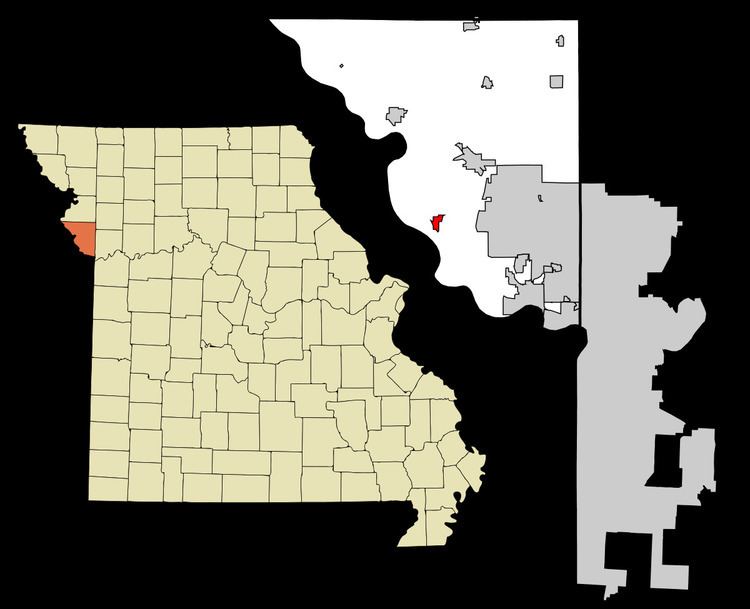
Map of Farley, MO, USA
History
A post office called Farley has been in operation since 1852. The community has the name of Joseph Farley, the original owner of the land where the village now is located.
Geography
Farley is located at 39°16′58″N 94°49′53″W.
According to the United States Census Bureau, the village has a total area of 1.23 square miles (3.19 km2), all of it land.
2010 census
As of the census of 2010, there were 269 people, 107 households, and 76 families residing in the village. The population density was 218.7 inhabitants per square mile (84.4/km2). There were 111 housing units at an average density of 90.2 per square mile (34.8/km2). The racial makeup of the village was 97.0% White, 1.9% Asian, and 1.1% from two or more races. Hispanic or Latino of any race were 1.9% of the population.
There were 107 households of which 30.8% had children under the age of 18 living with them, 61.7% were married couples living together, 3.7% had a female householder with no husband present, 5.6% had a male householder with no wife present, and 29.0% were non-families. 27.1% of all households were made up of individuals and 12.1% had someone living alone who was 65 years of age or older. The average household size was 2.51 and the average family size was 3.05.
The median age in the village was 45.4 years. 26% of residents were under the age of 18; 6.3% were between the ages of 18 and 24; 16.4% were from 25 to 44; 37.5% were from 45 to 64; and 13.8% were 65 years of age or older. The gender makeup of the village was 53.9% male and 46.1% female.
2000 census
As of the census of 2000, there were 226 people, 89 households, and 66 families residing in the village. The population density was 301.3 people per square mile (116.3/km²). There were 90 housing units at an average density of 120.0 per square mile (46.3/km²). The racial makeup of the village was 98.23% White and 1.77% Asian.
There were 89 households out of which 31.5% had children under the age of 18 living with them, 67.4% were married couples living together, 2.2% had a female householder with no husband present, and 25.8% were non-families. 23.6% of all households were made up of individuals and 5.6% had someone living alone who was 65 years of age or older. The average household size was 2.54 and the average family size was 3.03.
In the village, the population was spread out with 24.8% under the age of 18, 4.9% from 18 to 24, 27.9% from 25 to 44, 31.4% from 45 to 64, and 11.1% who were 65 years of age or older. The median age was 39 years. For every 100 females there were 96.5 males. For every 100 females age 18 and over, there were 100.0 males.
The median income for a household in the village was $56,406, and the median income for a family was $67,917. Males had a median income of $39,583 versus $28,125 for females. The per capita income for the village was $25,118. None of the families and 3.2% of the population were living below the poverty line.