
Surface area 7,190 acres (29.1 km) Shore length 281.6 km Inflow source Platte River | Area 29.1 km² Outflow location Platte River | |
 | ||
Primary inflows Primary outflows Little Platte branch of the Platte River Fish Walleye, Largemouth bass, Bluegill, Channel catfish, White bass, Blue catfish, Flathead catfish, Tiger muskellunge | ||
Smithville lake flathead at red boat point brush pile xx
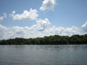
Smithville Lake is a 7,190-acre (29 km2) reservoir on the Little Platte branch of the Platte River in Clay County, Missouri near Smithville. It provides the water supply for Smithville, Missouri and Plattsburg, Missouri. Kansas City, Missouri has reserved a portion for its water supply.
Contents
- Smithville lake flathead at red boat point brush pile xx
- Map of Smithville Lake Missouri USA
- References
Map of Smithville Lake, Missouri, USA
The lake was built and is administered by the Kansas City office of the United States Army Corps of Engineers (which includes all of Missouri and Kansas, as well as small portions of Nebraska and Iowa) primarily for flood control. The lake is 10th largest of Corps lakes in the district, but third in terms of shoreline. It has 5,000 acres (20 km2) of public land and 175 miles (282 km) of shoreline.
Smithville Dam was authorized in 1965. Construction began in 1972 with the dam being completed in 1977. Impoundment began in 1979. The dam is 4000 feet long at its crest, 105 feet high, of earthen construction, contains a maximum capacity of 246,500 acre-feet, and is owned and operated by the Corps of Engineers.
The Jerry L. Litton Visitor Center by the dam tells the history of the area, as well as has memorabilia about the Congressman who died in a plane crash on election night after winning the Democratic nomination for U.S. Senate in 1976.