
Country United States Elevation 258 m Local time Friday 2:15 PM | GNIS feature ID 0453487 Area 93.8 km² Population 757 (2010) | |
 | ||
Weather 2°C, Wind NW at 27 km/h, 38% Humidity | ||
Jefferson Township is one of twelve townships in Huntington County, Indiana, United States. As of the 2010 census, its population was 757 and it contained 330 housing units.
Contents
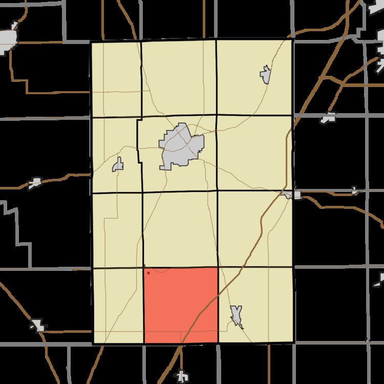
- Map of Jefferson Township IN USA
- History
- Geography
- Cities and towns
- Unincorporated towns
- Adjacent townships
- Cemeteries
- Major highways
- References
Map of Jefferson Township, IN, USA
History
Jefferson Township was organized in 1843. It was named for President Thomas Jefferson.
Geography
According to the 2010 census, the township has a total area of 36.2 square miles (94 km2), of which 35.94 square miles (93.1 km2) (or 99.28%) is land and 0.26 square miles (0.67 km2) (or 0.72%) is water.
Cities and towns
Unincorporated towns
Adjacent townships
Cemeteries
The township contains two cemeteries: Purviance and Taylor.
Major highways
References
Jefferson Township, Huntington County, Indiana Wikipedia(Text) CC BY-SA