
Country United States Elevation 267 m Local time Wednesday 4:54 AM | GNIS feature ID 0453822 Area 94.51 km² Population 2,049 (2010) | |
 | ||
Weather 6°C, Wind E at 11 km/h, 86% Humidity | ||
Salamonie Township is one of twelve townships in Huntington County, Indiana, United States. As of the 2010 census, its population was 2,049 and it contained 973 housing units.
Contents
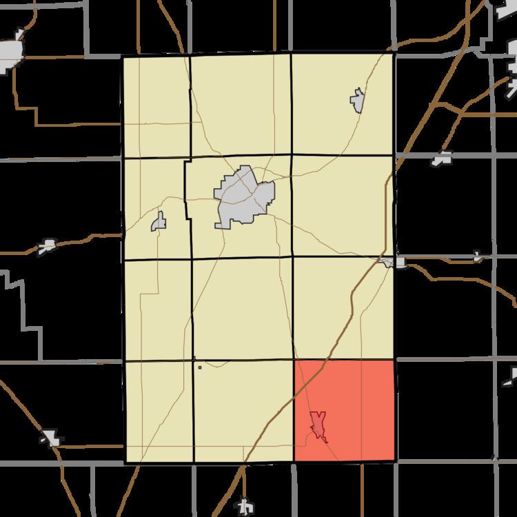
- Map of Salamonie Township IN USA
- History
- Geography
- Cities and towns
- Unincorporated towns
- Adjacent townships
- Cemeteries
- Major highways
- References
Map of Salamonie Township, IN, USA
History
Salamonie Township was organized in 1835. It was named from the Salamonie River.
Geography
According to the 2010 census, the township has a total area of 36.49 square miles (94.5 km2), of which 36.3 square miles (94 km2) (or 99.48%) is land and 0.19 square miles (0.49 km2) (or 0.52%) is water. The stream of Weasel Creek runs through this township.
Cities and towns
Unincorporated towns
Adjacent townships
Cemeteries
The township contains four cemeteries: Redmen, Thompson, West Union and Woodlawn.
Major highways
References
Salamonie Township, Huntington County, Indiana Wikipedia(Text) CC BY-SA