
Country United States Elevation 257 m Population 1,934 (2010) | GNIS feature ID 0453946 Area 91.97 km² Local time Friday 10:33 PM | |
 | ||
Weather 4°C, Wind NW at 14 km/h, 90% Humidity | ||
Van Buren Township is one of thirteen townships in Grant County, Indiana, United States. As of the 2010 census, its population was 1,934 and it contained 838 housing units.
Contents
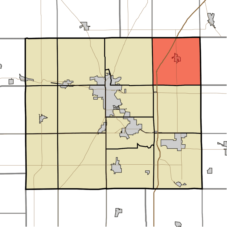
- Map of Van Buren Township IN USA
- Geography
- Cities and towns
- Unincorporated towns
- Adjacent townships
- Cemeteries
- Major highways
- References
Map of Van Buren Township, IN, USA
Geography
According to the 2010 census, the township has a total area of 35.51 square miles (92.0 km2), of which 35.48 square miles (91.9 km2) (or 99.92%) is land and 0.03 square miles (0.078 km2) (or 0.08%) is water. The streams of Brushy Run, Little Black Creek and Roods Run run through this township.
Cities and towns
Unincorporated towns
(This list is based on USGS data and may include former settlements.)
Adjacent townships
Cemeteries
The township contains six cemeteries: Cory, Doyle, Farrville, Landess, Lee and Masonic.
Major highways
References
Van Buren Township, Grant County, Indiana Wikipedia(Text) CC BY-SA