
County Huntington ZIP code 46991 Elevation 257 m | State Indiana FIPS code 18-49770 Local time Wednesday 6:20 PM | |
 | ||
Weather 3°C, Wind E at 16 km/h, 43% Humidity | ||
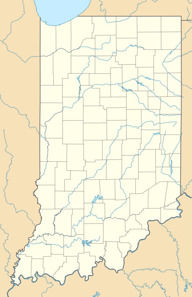
Milo is an unincorporated community in Jefferson Township, Huntington County, Indiana.
Contents
Map of Milo, Jefferson Township, IN 46991, USA
History
Milo was never properly laid out or platted. A post office called Milo was established in 1881, and remained in operation until it was discontinued in 1923. Milo M. Sharp was an early postmaster.
Milo was a station and shipping point on the Clover Leaf Railroad.
Geography
Milo is located at 40°39′14″N 85°28′06″W.
References
Milo, Indiana Wikipedia(Text) CC BY-SA