
Country United States Elevation 245 m Local time Thursday 3:32 AM | GNIS feature ID 0453754 Area 62.44 km² Population 449 (2010) | |
 | ||
Weather -3°C, Wind E at 8 km/h, 69% Humidity | ||
Polk Township is one of 12 townships in Huntington County, Indiana, United States. As of the 2010 census, its population was 449 and it contained 195 housing units.
Contents
- Map of Polk Township IN USA
- History
- Geography
- Cities and towns
- Unincorporated communities
- Adjacent townships
- Cemeteries
- Major highways
- References
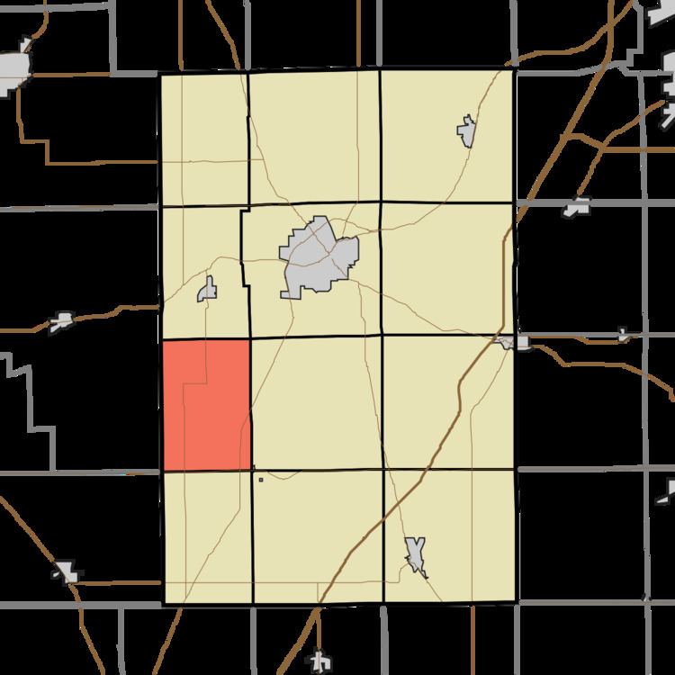
Map of Polk Township, IN, USA
History
Polk Township was organized in 1846. It was named for President James K. Polk.
Geography
According to the 2010 census, the township has a total area of 24.11 square miles (62.4 km2), of which 22.76 square miles (58.9 km2) (or 94.40%) is land and 1.35 square miles (3.5 km2) (or 5.60%) is water.
Cities and towns
Unincorporated communities
Adjacent townships
Cemeteries
The township contains one cemetery, Monument City Memorial.
Major highways
References
Polk Township, Huntington County, Indiana Wikipedia(Text) CC BY-SA