
Country United States Elevation 257 m Local time Saturday 11:31 PM | GNIS feature ID 0453996 Area 88.81 km² Population 3,803 (2010) | |
 | ||
Weather 10°C, Wind S at 13 km/h, 50% Humidity | ||
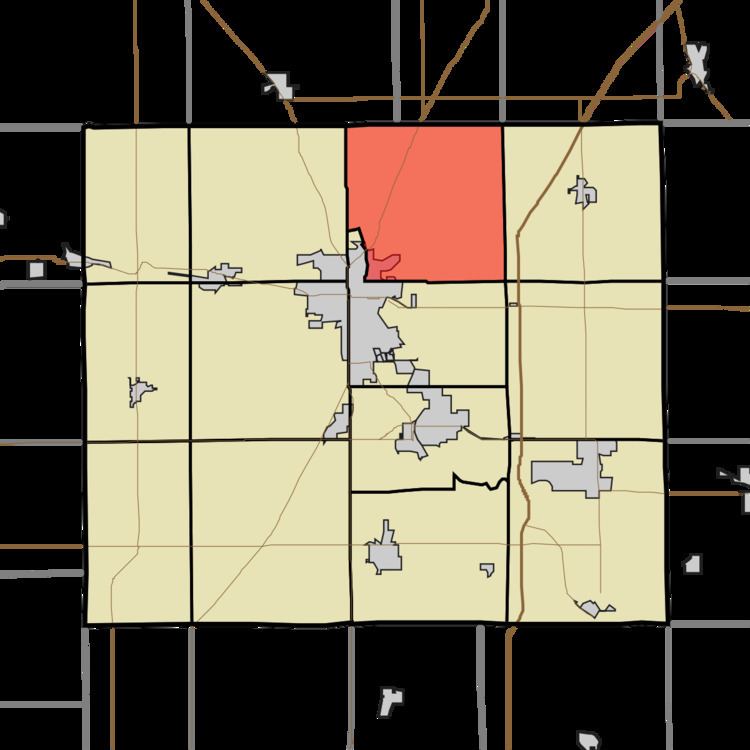
Washington Township is one of thirteen townships in Grant County, Indiana, United States. As of the 2010 census, its population was 3,803 and it contained 1,711 housing units.
Contents
- Map of Washington Township IN USA
- History
- Geography
- Cities and towns
- Unincorporated towns
- Adjacent townships
- Cemeteries
- Major highways
- References
Map of Washington Township, IN, USA
History
The Dr. Richard Davis House was listed on the National Register of Historic Places in 1997.
Geography
According to the 2010 census, the township has a total area of 34.29 square miles (88.8 km2), of which 34.14 square miles (88.4 km2) (or 99.56%) is land and 0.16 square miles (0.41 km2) (or 0.47%) is water. The streams of Big Lick Creek and Hummel Creek run through this township.
Cities and towns
Unincorporated towns
(This list is based on USGS data and may include former settlements.)
Adjacent townships
Cemeteries
The township contains three cemeteries: Fairview, Hummel-Lobdell and Salem.
Major highways
References
Washington Township, Grant County, Indiana Wikipedia(Text) CC BY-SA