
Country United States Elevation 244 m Local time Sunday 12:51 AM | GNIS feature ID 0453538 Area 92.95 km² Population 1,150 (2010) | |
 | ||
Weather -6°C, Wind N at 14 km/h, 58% Humidity | ||
Lancaster Township is one of twelve townships in Huntington County, Indiana, United States. As of the 2010 census, its population was 1,150 and it contained 472 housing units.
Contents
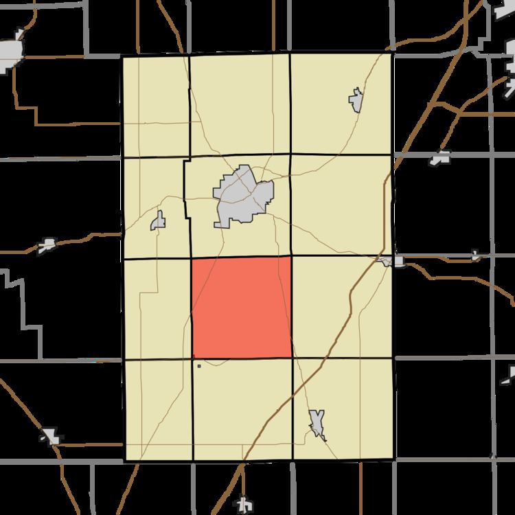
- Map of Lancaster Township IN USA
- History
- Geography
- Cities and towns
- Unincorporated towns
- Extinct towns
- Adjacent townships
- Cemeteries
- Major highways
- References
Map of Lancaster Township, IN, USA
History
Lancaster Township was founded in 1837.
Geography
According to the 2010 census, the township has a total area of 35.89 square miles (93.0 km2), of which 35.63 square miles (92.3 km2) (or 99.28%) is land and 0.27 square miles (0.70 km2) (or 0.75%) is water.
Cities and towns
Unincorporated towns
Extinct towns
Adjacent townships
Cemeteries
The township contains three cemeteries: German Settlement, Loon Creek and Rees.
Major highways
References
Lancaster Township, Huntington County, Indiana Wikipedia(Text) CC BY-SA