
Sovereign state United Kingdom Area 792.3 km² | Constituent country England Area rank 45th University Cliff College | |
 | ||
Points of interest Peak District, Heights of Abraham, Gulliver's Kingdom, Dovedale, Kedleston Hall Destinations | ||
Derbyshire dales
Derbyshire Dales /ˈdɑːrbᵻʃə deɪlz/ or /ˈdɑːrbiʃɪər deɪlz/ is a local government district in Derbyshire, England. The population of the district as taken at the 2011 Census was 71,116. Much of the district is situated in the Peak District, although most of its population lies along the River Derwent.
Contents
- Derbyshire dales
- Map of Derbyshire Dales District UK
- Bonsall moor derbyshire dales peak district derbyshire uk road bike ride
- Governance
- Places
- References
Map of Derbyshire Dales District, UK
The borough borders the districts of High Peak, Amber Valley, North East Derbyshire and South Derbyshire in Derbyshire and also Sheffield in South Yorkshire. The district also lies within the Sheffield City Region, and the district council is a non-constituent partner member of the Sheffield City Region Combined Authority. A significant amount of the working population is employed in Sheffield and Chesterfield.
The district offices are in Matlock. It was formed on 1 April 1974, originally under the name of West Derbyshire. The district adopted its current name in 1988. The district was a merger of Ashbourne, Bakewell, Matlock and Wirksworth urban districts along with Ashbourne Rural District and Bakewell Rural District.
Following their review of parliamentary representation in Derbyshire, the Boundary Commission for England has formed a new constituency called Derbyshire Dales.
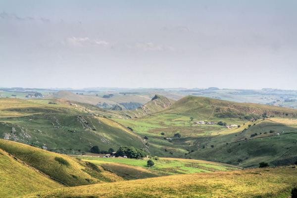
Bonsall moor derbyshire dales peak district derbyshire uk road bike ride
Governance
Derbyshire Dales District Council is elected every four years, with currently 39 councillors being elected at each election. The Conservative party has had a majority on the council since 1976, apart from a four-year period between 1995 and the 1999 election when no party had a majority. As of July 2011 and after the 2011 election the council is composed of the following councillors:-