
Sovereign state United Kingdom Area 338 km² | Constituent country England Area rank 128th | |
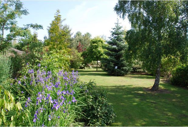 | ||
Points of interest Calke Abbey, Melbourne Hall, Staunton Harold Reservoir, Elvaston Castle Country P, Foremark Reservoir Destinations | ||
Dji phantom 3 pro 4k foremark reservoir south derbyshire england in snow
South Derbyshire is a local government district in Derbyshire, England. The population of the local authority at the 2011 Census was 94,611. It contains a third of the National Forest, and the council offices are in Swadlincote.
Contents
- Dji phantom 3 pro 4k foremark reservoir south derbyshire england in snow
- Map of South Derbyshire District UK
- Settlements
- Energy policy
- Population
- References
Map of South Derbyshire District, UK
The district was formed on 1 April 1974 as a merger of the Swadlincote urban district along with Repton Rural District and part of South East Derbyshire Rural District.
Settlements
Settlements in the district include:
Energy policy
In May 2006, a report commissioned by British Gas showed that housing in South Derbyshire produced the 19th highest average carbon emissions in the country at 6,929 kg of carbon dioxide per dwelling. As a way of helping to reduce these emissions, the local councils have since given out leaflets and flyers telling people information about climate change.
Population
Relative to Derbyshire, the East Midlands and England as a whole the population of South Derbyshire is expected to rise by 23% in forecasts from a 2005 population of 88,000 to a 2025 population of 108,600. Swadlincote is anticipated to absorb most of this expansion. the No other district in Derbyshire is expected to grow at even half this rate. The figures for the East Midlands as whole over this time range is 10.5% with both Derbyshire and England as a whole being similar but less. Derby is forecast to grow by only 6%.