
Country United States GNIS feature ID 453158 Local time Saturday 3:52 PM | FIPS code 18-10432 Elevation 152 m Population 3,452 (2010) | |
 | ||
Weather 13°C, Wind S at 6 km/h, 27% Humidity Area 69.64 km² (68.27 km² Land / 137 ha Water) | ||
Carr Township is one of twelve townships in Clark County, Indiana. As of the 2010 census, its population was 3,452 and it contained 1,378 housing units.
Contents
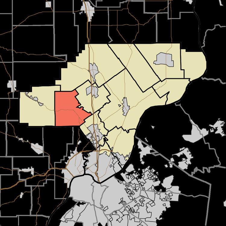
- Map of Carr Township IN USA
- History
- Geography
- Unincorporated towns
- Adjacent townships
- Major highways
- Cemeteries
- References
Map of Carr Township, IN, USA
History
Carr Township was organized in 1854. It was named for General John Carr, a pioneer settler.
Geography
According to the 2010 census, the township has a total area of 26.89 square miles (69.6 km2), of which 26.36 square miles (68.3 km2) (or 98.03%) is land and 0.53 square miles (1.4 km2) (or 1.97%) is water.
Unincorporated towns
Adjacent townships
Major highways
Cemeteries
The township contains Several cemeteries: Adkins, Allen (aka Jenkins), Hagest (aka Keibler and Hitch), Hickory Grove, Merrill-Ward, Miller, St. John the Baptist Catholic, Stone Grave at Deam Lake, and Wagner.
References
Carr Township, Clark County, Indiana Wikipedia(Text) CC BY-SA