
Country United States GNIS feature ID 453909 Local time Friday 1:57 PM | FIPS code 18-77174 Elevation 156 m Population 3,507 (2010) | |
 | ||
Weather 13°C, Wind W at 19 km/h, 74% Humidity Area 54.6 km² (54 km² Land / 60 ha Water) | ||
Union Township is one of twelve townships in Clark County, Indiana, United States. As of the 2010 census, its population was 3,507 and it contained 1,415 housing units.
Contents
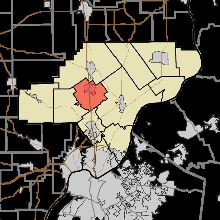
- Map of Union Township IN USA
- History
- Geography
- Cities and towns
- Unincorporated towns
- Adjacent townships
- Major highways
- Cemeteries
- References
Map of Union Township, IN, USA
History
Union Township was organized in 1858. Its name was given from the fact that this township was created through the merger or "union" of land given by three neighboring townships.
Geography
According to the 2010 census, the township has a total area of 21.08 square miles (54.6 km2), of which 20.85 square miles (54.0 km2) (or 98.91%) is land and 0.23 square miles (0.60 km2) (or 1.09%) is water.
Cities and towns
Unincorporated towns
(This list is based on USGS data and may include former settlements.)
Adjacent townships
Major highways
Cemeteries
The township contains three cemeteries: Black and White (aka Weir or Wilson), Bowery, Ebenezer Methodist Episcopal Church.
References
Union Township, Clark County, Indiana Wikipedia(Text) CC BY-SA