
Country United States Elevation 453 ft (138 m) GNIS feature ID 453660 Population 49,252 (2010) | FIPS code 18-52344 Local time Saturday 12:41 AM | |
 | ||
Weather 19°C, Wind S at 10 km/h, 58% Humidity Points of interest Culbertson Mansion State Hist, Carnegie Center for Art & Hist, Sam Peden Communi, River City Winery, Silver Street Park | ||
New Albany Township is one of five townships in Floyd County, Indiana. As of the 2010 census, its population was 49,252 and it contained 22,226 housing units.
Contents
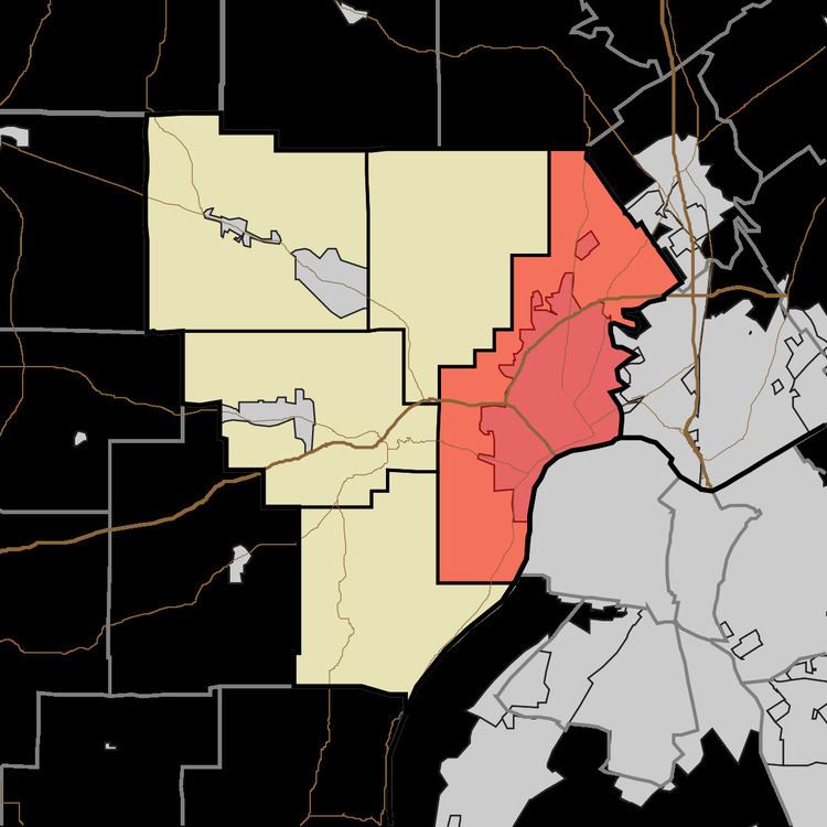
- Map of New Albany Township IN USA
- Geography
- Cities and towns
- Unincorporated towns
- Adjacent townships
- Major highways
- Cemeteries
- References
Map of New Albany Township, IN, USA
Geography
According to the 2010 census, the township has a total area of 38.95 square miles (100.9 km2), of which 38.46 square miles (99.6 km2) (or 98.74%) is land and 0.49 square miles (1.3 km2) (or 1.26%) is water. Bills Lakes is in this township.
Cities and towns
Unincorporated towns
(This list is based on USGS data and may include former settlements.)
Adjacent townships
Major highways
Cemeteries
The township contains six cemeteries: Fairview, Graceland, Holy Trinity, New Albany National, Saint Marys and West Haven.
References
New Albany Township, Floyd County, Indiana Wikipedia(Text) CC BY-SA