
Country United States GNIS feature ID 453531 Local time Friday 10:36 PM Area code 812 | FIPS code 18-40734 Elevation 282 m Population 7,449 (2010) | |
 | ||
Weather 1°C, Wind NW at 13 km/h, 33% Humidity Area 67.94 km² (67.5 km² Land / 41 ha Water) | ||
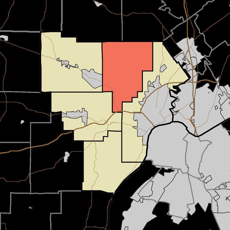
Lafayette Township is one of five townships in Floyd County, Indiana. As of the 2010 census, its population was 7,449 and it contained 2,856 housing units.
Contents
- Map of Lafayette Township IN USA
- Geography
- Unincorporated Communities
- Adjacent townships
- Major highways
- References
Map of Lafayette Township, IN, USA
Geography
According to the 2010 census, the township has a total area of 26.23 square miles (67.9 km2), of which 26.06 square miles (67.5 km2) (or 99.35%) is land and 0.16 square miles (0.41 km2) (or 0.61%) is water. State Senate District 46, US Congress District 9, State Representative District 72, Indiana Department of Homeland Security District 9.
Unincorporated Communities
Adjacent townships
Major highways
References
Lafayette Township, Floyd County, Indiana Wikipedia(Text) CC BY-SA