
Country United States GNIS feature ID 453636 Population 5,402 (2010) | FIPS code 18-50274 Elevation 160 m Local time Thursday 1:26 PM | |
 | ||
Weather 3°C, Wind SW at 6 km/h, 32% Humidity Area 145.2 km² (144.5 km² Land / 73 ha Water) | ||
Monroe Township is one of twelve townships in Clark County, Indiana. As of the 2010 census, its population was 5,402 and it contained 2,125 housing units.
Contents
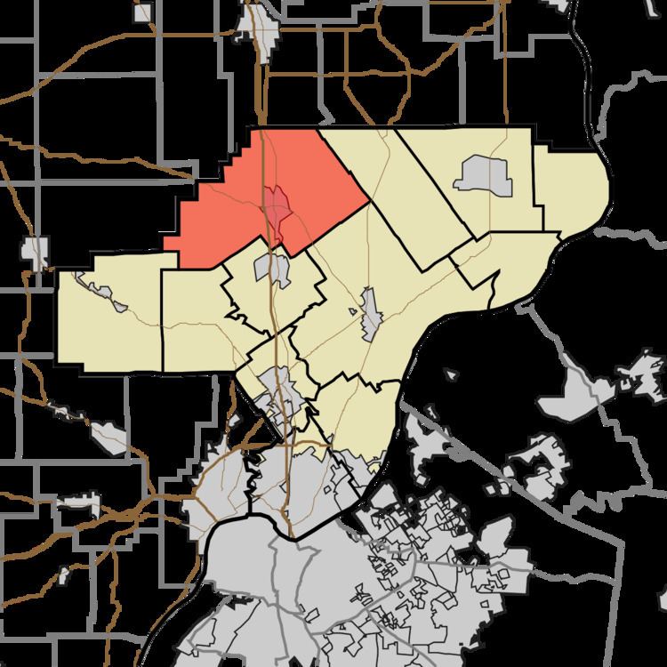
- Map of Monroe Township IN USA
- History
- Geography
- Unincorporated towns
- Adjacent townships
- Major highways
- Cemeteries
- References
Map of Monroe Township, IN, USA
History
Monroe Township was organized prior to 1827 but the exact date is unclear because records have been lost. It was likely named for President James Monroe.
Geography
According to the 2010 census, the township has a total area of 56.06 square miles (145.2 km2), of which 55.78 square miles (144.5 km2) (or 99.50%) is land and 0.28 square miles (0.73 km2) (or 0.50%) is water.
Unincorporated towns
Adjacent townships
Major highways
Cemeteries
The township contains several cemeteries: Blue Lick Cemetery (a.k.a. Mountain Grove), Bowerman Cemetery, Cass, Clegg (a.k.a. Mt. Moriah), Collings, Dieterlen Grave, Dietz, Forest Grove (a.k.a. Willey's Chapel), Guernsey, Henryville, Hylton-Condrey, Hosea Family, Kaylor-Wilcox, Little Union (a.k.a. Gross), McBride-Allen-Biggs (a.k.a. Allen), Mt. Lebanon, Mt. Moriah, Mt. Zion, Otisco II, St. Clair, St. Francis Catholic (a.k.a. Henryville Catholic), Tuttle, and Wootan.