
Country United States GNIS feature ID 454063 Population 2,747 (2010) | FIPS code 18-85166 Elevation 166 m Local time Wednesday 7:39 AM | |
 | ||
Weather 10°C, Wind E at 21 km/h, 80% Humidity Area 100.9 km² (100.6 km² Land / 34 ha Water) | ||
Wood Township is one of twelve townships in Clark County, Indiana. As of the 2010 census, its population was 2,747 and it contained 1,148 housing units.
Contents
- Map of Wood Township IN USA
- History
- Geography
- Cities and towns
- Unincorporated towns
- Adjacent townships
- Major highways
- Cemeteries
- References
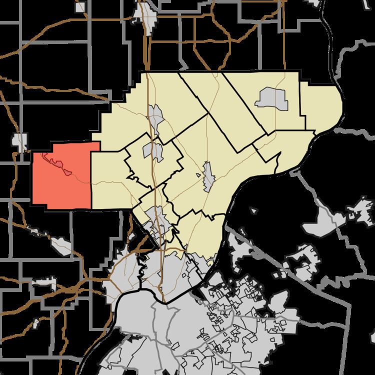
Map of Wood Township, IN, USA
History
Wood Township was named for George Wood, a pioneer settler.
Geography
According to the 2010 census, the township has a total area of 38.97 square miles (100.9 km2), of which 38.83 square miles (100.6 km2) (or 99.64%) is land and 0.13 square miles (0.34 km2) (or 0.33%) is water. It is 11 miles NW of Louisville, KY.
Cities and towns
Unincorporated towns
(This list is based on USGS data and may include former settlements.)
Adjacent townships
Major highways
Cemeteries
The township contains several cemeteries: African-American Cemetery near Daisy Hill Cemetery, Borden Town, Daisy Hill, Dow, Emmanuel, Fisher, Gibson, Goss, Goss II, Gruen, Hallett, Johnson, McKinley-Packwood, New Chapel, Newman/Fisher, Pleasant Ridge, Robertson, St. John the Baptist Catholic Church, Walnut Hill, Whitson, and Wood.