
Country United States GNIS feature ID 453848 Local time Tuesday 6:34 PM | FIPS code 18-69696 Elevation 144 m Population 11,858 (2010) | |
 | ||
Weather 17°C, Wind N at 18 km/h, 42% Humidity Area 43.98 km² (43.3 km² Land / 70 ha Water) University Ivy Tech Community College-South Central | ||
Silver Creek Township is one of twelve townships in Clark County, Indiana. As of the 2010 census, its population was 11,858 and it contained 4,858 housing units.
Contents
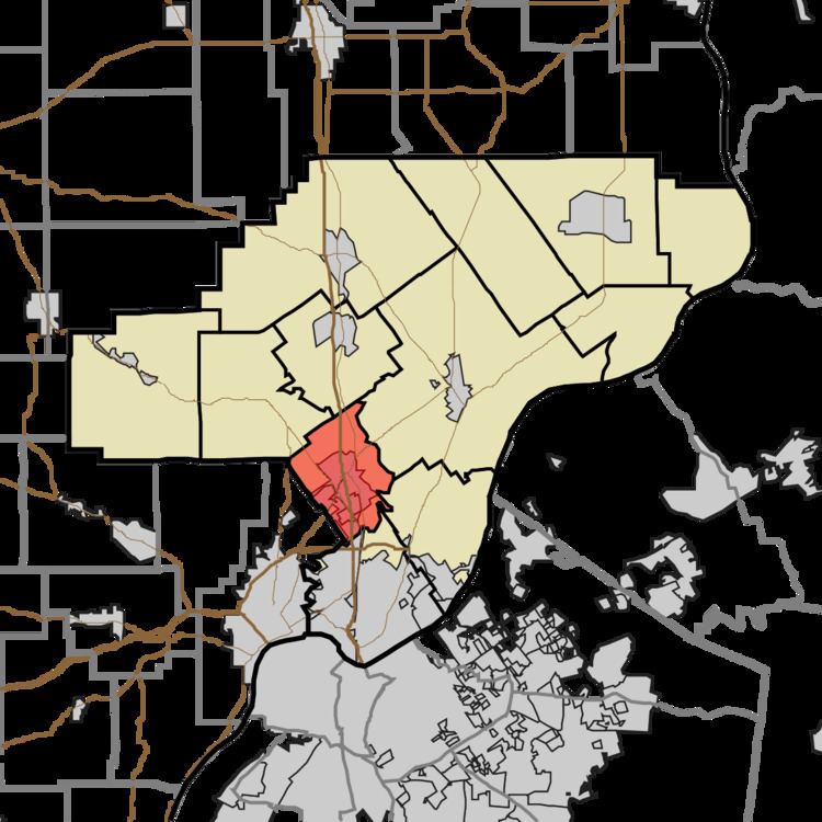
- Map of Silver Creek Township IN USA
- History
- Geography
- Cities and towns
- Unincorporated towns
- Adjacent townships
- Major highways
- Cemeteries
- References
Map of Silver Creek Township, IN, USA
History
Silver Creek Township was established in or before 1815, but when exactly is uncertain because records have been lost. The township takes its name from Silver Creek, the largest stream in Clark County.
Geography
According to the 2010 census, the township has a total area of 16.98 square miles (44.0 km2), of which 16.72 square miles (43.3 km2) (or 98.47%) is land and 0.27 square miles (0.70 km2) (or 1.59%) is water.
Cities and towns
Unincorporated towns
Adjacent townships
Major highways
Cemeteries
The township contains several cemeteries: Bottorff/Couch, Cremer/Kramer, Cunningham, Hendricks (a.k.a. Sarles Cemetery and Hell's Half Acre), Hopewell Baptist Church, Jenkins, Lehmanowsky, Phelps, Poindexter, Plum Run, Sellersburg, Smith Cemetery, St. Joseph Catholic Church, Francis Wells Family (a.k.a. Francis Wells), Whalen