
Founded 1879 Congressional district At-large Website www.brulecounty.org Population 5,366 (2013) | Area 2,191 km² Unemployment rate 3.4% (Apr 2015) | |
 | ||
Rivers Missouri River, Smith Creek, American Creek, Bond Bottom | ||
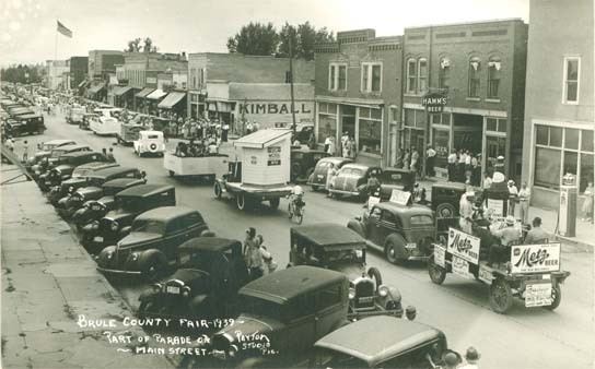
Brule County is a county located in the U.S. state of South Dakota. As of the 2010 census, the population was 5,255. Its county seat is Chamberlain. The county was created in 1875 and organized in 1879.
Contents
- Map of Brule County SD USA
- Geography
- Major highways
- Adjacent counties
- 2000 census
- 2010 census
- Cities
- Town
- Census designated places
- Townships
- Unorganized territory
- References
Map of Brule County, SD, USA
Geography
According to the U.S. Census Bureau, the county has a total area of 846 square miles (2,190 km2), of which 817 square miles (2,120 km2) is land and 29 square miles (75 km2) (3.5%) is water.
Major highways
Adjacent counties
2000 census
As of the census of 2000, there were 5,364 people, 1,998 households, and 1,328 families residing in the county. The population density was 6 people per square mile (3/km²). There were 2,272 housing units at an average density of 3 per square mile (1/km²). The racial makeup of the county was 89.91% White, 0.26% Black or African American, 8.28% Native American, 0.48% Asian, 0.02% Pacific Islander, 0.06% from other races, and 0.99% from two or more races. 0.48% of the population were Hispanic or Latino of any race. 39.6% were of German, 9.5% Czech, 8.6% Norwegian, 7.8% Irish and 6.6% United States or American ancestry.
There were 1,998 households out of which 31.00% had children under the age of 18 living with them, 56.20% were married couples living together, 7.20% had a female householder with no husband present, and 33.50% were non-families. 29.90% of all households were made up of individuals and 13.10% had someone living alone who was 65 years of age or older. The average household size was 2.49 and the average family size was 3.14.
In the county, the population was spread out with 30.50% under the age of 18, 6.80% from 18 to 24, 24.70% from 25 to 44, 21.20% from 45 to 64, and 16.90% who were 65 years of age or older. The median age was 37 years. For every 100 females there were 93.20 males. For every 100 females age 18 and over, there were 92.10 males.
The median income for a household in the county was $32,370, and the median income for a family was $37,361. Males had a median income of $26,698 versus $20,094 for females. The per capita income for the county was $14,874. About 8.10% of families and 14.30% of the population were below the poverty line, including 14.30% of those under age 18 and 20.20% of those age 65 or over.
2010 census
As of the 2010 United States Census, there were 5,255 people, 2,136 households, and 1,375 families residing in the county. The population density was 6.4 inhabitants per square mile (2.5/km2). There were 2,433 housing units at an average density of 3.0 per square mile (1.2/km2). The racial makeup of the county was 88.4% white, 8.5% American Indian, 0.2% black or African American, 0.2% Asian, 0.3% from other races, and 2.4% from two or more races. Those of Hispanic or Latino origin made up 1.4% of the population. In terms of ancestry, 51.7% were German, 11.7% were Irish, 11.5% were Czech, 10.9% were Norwegian, 6.2% were English, and 1.3% were American.
Of the 2,136 households, 30.3% had children under the age of 18 living with them, 52.0% were married couples living together, 8.6% had a female householder with no husband present, 35.6% were non-families, and 30.5% of all households were made up of individuals. The average household size was 2.40 and the average family size was 3.03. The median age was 41.3 years.
The median income for a household in the county was $48,277 and the median income for a family was $58,363. Males had a median income of $33,958 versus $25,051 for females. The per capita income for the county was $19,779. About 9.8% of families and 9.1% of the population were below the poverty line, including 9.0% of those under age 18 and 10.6% of those age 65 or over.
Cities
Town
Census-designated places
Townships
The county is divided into twenty-two townships:
Unorganized territory
Brule County has a single unorganized territory: Grandview.