
Country United States FIPS code 46-05580 Elevation 540 m Population 6 (2010) | Time zone Central (CST) (UTC-6) GNIS feature ID 1261095 Area 13.6 km² | |
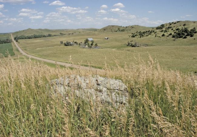 | ||
Bijou Hills (Lakota: 'Wíyukeze Pahá') is an unincorporated community and census-designated place in Brule County, South Dakota, United States. The population was 6 according to the 2010 census.
Contents
Map of Bijou Hills, Eagle Township, SD 57369, USA
The CDP is located in southern Brule County, at the south base of a small ridge known as the Bijou Hills. The community is 1.2 miles (1.9 km) northeast of South Dakota Highway 50 and 18 miles (29 km) south of Interstate 90.
History
Bijou Hills was laid out in 1875, and named after a nearby mountain range. A post office called Bijou Hills was established in 1877, and remained in operation until 1957.
References
Bijou Hills, South Dakota Wikipedia(Text) CC BY-SA