
Existed: 1926 – present Length 341.9 km | Constructed 1926 | |
 | ||
Counties Buffalo County, South Dakota | ||
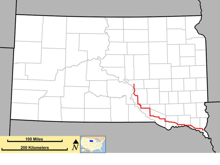
South Dakota Highway 50 (SD 50) is a state route serving south central and southeast South Dakota. The current alignment begins at the junction of South Dakota Highway 34 at "Lee's Corner" east of Fort Thompson, and ends at the Iowa border near Richland, where it continues as Iowa Highway 3. It is about 212 miles (341 km) in length.
Contents
Map of SD-50, South Dakota, USA
History
South Dakota 50 was designated on the route known as the Sunshine Highway. When it was created in the 1920s, it ran the entire length of southern South Dakota, from the Wyoming border west of Edgemont, to the Iowa border at Sioux City.
When U.S. Highway 18 was designated in the late 1920s, it replaced the SD 50 designation from the Wyoming border at Ravinia (east of Lake Andes). SD 50 continued in southeast South Dakota.
Around 1940, SD 50 was extended northwest of its old terminus. It assumed a portion of alignment of South Dakota Highway 45 through Geddes, and South Dakota Highway 47 through Academy; the northern terminus became U.S. Highway 16 near Pukwana.
Around 1950, the east terminus was rerouted. At U.S. Highway 77 (with which it had previously shared a dual alignment to Sioux City), SD 50 was extended east to the Iowa border.
In 1976, the northwest terminus was again extended. It was routed west to Chamberlain, then assumed a segment of SD 47 (which had been realigned west) to its new northern terminus at SD 34 east of Fort Thompson.