
Congressional district At-large Area 1,264 km² Population 2,024 (2013) | Founded 1873 Unemployment rate 7.9% (Apr 2015) | |
 | ||
Rivers Missouri River, Smith Creek, Elm Creek, Crow Creek | ||
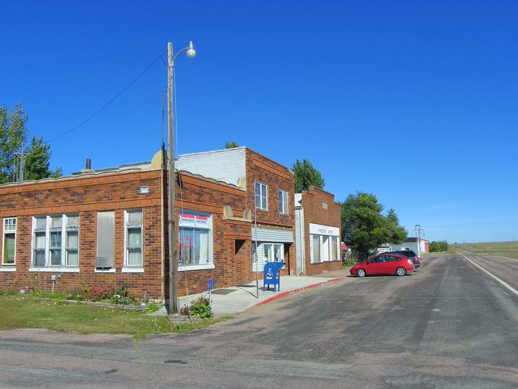
Buffalo County is a county located in the U.S. state of South Dakota. As of the 2010 census, the population was 1,912. Its county seat is Gann Valley which, at 14 people, is the least populous county seat in the United States. The county was created in 1864 and organized in 1871 as part of the Dakota Territory.
Contents
- Map of Buffalo County SD USA
- Geography
- Major highways
- Adjacent counties
- History
- 2000 census
- 2010 census
- Census designated place
- Unincorporated communities
- Townships
- References
Map of Buffalo County, SD, USA
In 2010, the center of population of South Dakota was located in eastern Buffalo County. The Crow Creek Indian Reservation inhabited by the Crow Creek Sioux Tribe makes up the majority of Buffalo County.
According to the 2013 Small Area Income and Poverty Estimates (SAIPE) of the Bureau of the Census, about 41% of county residents live in poverty, making it the fifth-poorest county in South Dakota. This is a far higher poverty rate than the national poverty rate, which is 15.8%. Median household income in 2013 was $21,572, making it the lowest-earning county in South Dakota and the United States.
In March 2015, the unemployment rate was 8.5%; its ten-year peaks occurred in December 2006 (18.%) and December 2009 (17.2%). Many homes lack kitchens and indoor plumbing.
Geography
According to the U.S. Census Bureau, the county has a total area of 488 square miles (1,260 km2), of which 471 square miles (1,220 km2) is land and 16 square miles (41 km2) (3.4%) is water.
Major highways
Adjacent counties
History
As first organized, the county occupied an extensive area, bounded on the north by Canada, southwest and west by the Missouri River, having Montana for a part of its northwest boundary, and comprising a large portion of the “Plateau du Coteau du Missouri,” and a part of the Miniwakan or Devil's Lake. While this does expand into modern-day North Dakota, this conundrum can be solved by realizing that the county was created in 1864, 25 years before the Dakota Territory was split into North and South Dakota.
2000 census
As of the census of 2000, there are 2,032 people, 526 households, and 422 families residing in the county. The population density is 4 people per square mile (2/km²). There are 602 housing units at an average density of 1 per square mile (0/km²). The racial makeup of the county is 81.59% Native American, 16.34% White, 0.10% Black or African American, 0.30% from other races, and 1.67% from two or more races. 0.89% of the population are Hispanic or Latino of any race. 8.9% were of German ancestry.
There are 526 households out of which 47.10% have children under the age of 18 living with them, 37.60% are married couples living together, 31.40% have a female householder with no husband present, and 19.80% are non-families. 16.00% of all households are made up of individuals and 5.90% have someone living alone who is 65 years of age or older. The average household size is 3.83 and the average family size is 4.23.
In the county, the population is spread out with 41.30% under the age of 18, 11.00% from 18 to 24, 25.00% from 25 to 44, 16.10% from 45 to 64, and 6.50% who are 65 years of age or older. The median age is 23 years. For every 100 females there are 105.50 males. For every 100 females age 18 and over, there are 98 males.
The median income for a household in the county was $12,692, and the median income for a family was $14,167. Males had a median income of $18,650 versus $19,554 for females. The per capita income for the county was $5,213, the lowest in the nation. About 55.70% of families and 56.90% of the population were below the poverty line, including 61.50% of those under age 18 and 50.40% of those age 65 or over.
2010 census
As of the 2010 United States Census, there were 1,912 people, 532 households, and 407 families residing in the county. The population density was 4.1 inhabitants per square mile (1.6/km2). There were 609 housing units at an average density of 1.3 per square mile (0.50/km2). The racial makeup of the county was 84.0% Native American, 14.8% white, 0.2% black or African American, 0.1% Asian, 0.0% from other races, and 0.9% from two or more races. Those of Hispanic or Latino origin made up 1.8% of the population. In terms of ancestry, 5.6% were German, and 0.0% were American.
Of the 532 households, 55.6% had children under the age of 18 living with them, 33.1% were married couples living together, 33.1% had a female householder with no husband present, 23.5% were non-families, and 19.0% of all households were made up of individuals. The average household size was 3.59 and the average family size was 4.06. The median age was 25.0 years.
The median income for a household in the county was $27,926 and the median income for a family was $28,333. Males had a median income of $38,920 versus $18,542 for females. The per capita income for the county was $11,410. About 44.4% of families and 49.3% of the population were below the poverty line, including 58.2% of those under age 18 and 36.3% of those age 65 or over.
Census-designated place
Unincorporated communities
Townships
The county consists of one township: Elvira; and three areas of unorganized territory: Crow Creek, North Buffalo, and Southeast Buffalo.