
Country United States FIPS code 46-46700 Elevation 529 m Population 13 (2010) | Time zone Central (CST) (UTC-6) GNIS feature ID 1261051 Area 10.4 km² Local time Thursday 9:34 AM | |
 | ||
Weather 8°C, Wind SE at 26 km/h, 66% Humidity | ||
Ola is an unincorporated community and census-designated place in Brule County, South Dakota, United States. The population was 13 according to the 2010 census.
Map of Ola, SD 57325, USA
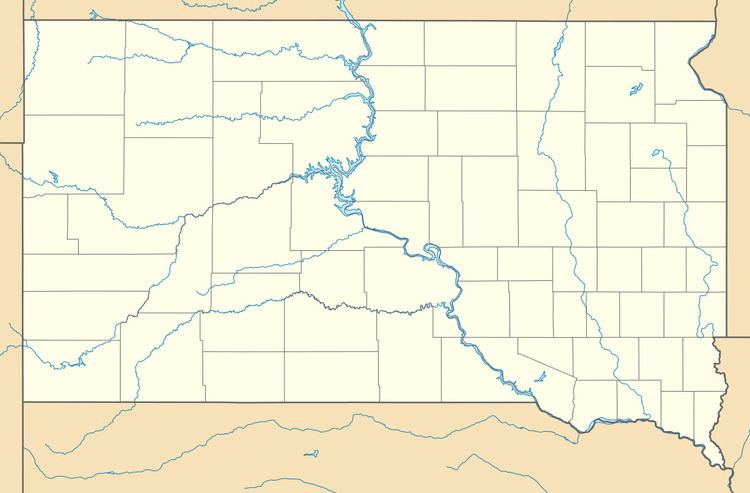
The CDP is located in southern Brule County, 2 miles (3 km) west of South Dakota Highway 50 and 12 miles (19 km) south of Interstate 90.
References
Ola, South Dakota Wikipedia(Text) CC BY-SA