
Length 426 km Country United States of America | ||
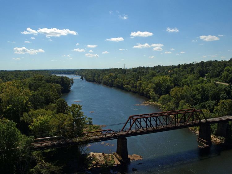 | ||
Tallapoosa river 43 mile kayaking trip in two days from malone to lake martin alabama 4 8 16
The Tallapoosa River runs 265 miles (426 km) from the southern end of the Appalachian Mountains in Georgia, United States, southward and westward into Alabama. It is formed by the confluence of McClendon Creek and Mud Creek in Paulding County, Georgia. Lake Martin at Alexander City, Alabama is a large and popular water recreation area formed by a dam on the river. The Tallapoosa joins the Coosa River about 10 miles (16 km) northeast of Montgomery near Wetumpka (in Elmore County) to form the Alabama River.
Contents
- Tallapoosa river 43 mile kayaking trip in two days from malone to lake martin alabama 4 8 16
- Map of Tallapoosa River Alabama USA
- Tallapoosa river kayaking trip
- Impoundments
- Significant tributaries
- Advocates
- Major cities
- References
Map of Tallapoosa River, Alabama, USA
There are four hydroelectric dams on the Tallapoosa: Yates Dam, Thurlow, Martin and Harris Dam; they are important sources of electricity generation for Alabama Power (a unit of the Southern Company) and recreation for the public.
The Tallapoosa River, especially its lower course, was a major population center of the Creek Indians before the early 19th century. The contemporary name of the river is from the Creek words Talwa posa, which mean Grandmother Town. The Creek consider the Tallapoosa branch of their tribe to be one of the oldest.
Horseshoe Bend National Military Park, a U.S. National Military Park managed by the National Park Service, sits on the banks of the Tallapoosa River just upstream from Lake Martin.
The river below Thurlow Dam provides a short run of outstanding Class II, III and IV whitewater kayaking.
Tallapoosa, Georgia, is named for the river, which runs near the town.
Tallapoosa river kayaking trip
Impoundments
The Tallapoosa River, at the site where Yates Dam now sits, was the earlier site of the first hydroelectric dam in Alabama, built in 1902, by Henry C. Jones, an Auburn University electrical engineer. Rebuilt after the flood of 1919, the dam that then belonged to the Montgomery Light & Water Power Company was replaced by a third dam, the 1928 Yates Dam.
There are four hydroelectric dams on the Tallapoosa River: Yates Dam, Thurlow Dam, Martin Dam, and R.L. Harris Dam.
The table below outlines the four impoundments (dams) on the Tallapoosa River from south to north.
Significant tributaries
The Tallapoosa River's drainage has many significant tributaries which reflected below based on their location within the watershed.
Advocates
The Coosa-Alabama River Improvement Association, founded in 1890 in Gadsden, Alabama to promote navigation on the Coosa River is a leading advocate of the economic, recreational and environmental benefits of the Coosa and Tallapoosa River systems.
The Alabama Rivers Alliance works to unite the citizens of Alabama to protect peoples right to clean, healthy, waters.
Alabama Water Watch is dedicated to volunteer citizen monitoring of water quality in Alabama Rivers.
The Alabama Power Foundation is a non-profit foundation providing grants for watershed, environmental and community projects along the Tallapoosa River and within the state of Alabama
The Coosa River Basin Initiative is a grassroots environmental organization with the mission of informing and empowering citizens so that they may become involved in the process of creating a clean, healthy and economically viable Coosa River Basin.
Major cities
A number of significant cities lie on the banks of the Tallapoosa River. They include: