
Visitors 58,564 (in 2005) Year built 1813 Established July 25, 1956 | Area 8.256 km² Phone +1 256-234-7111 | |
 | ||
Nearest city Alexander City, Alabama Website Horseshoe Bend National Historic Park Similar Russell Cave National, Tuskegee Airmen National, Wind Creek State Park, Little River Canyon National, Tuskegee Institute National Profiles | ||
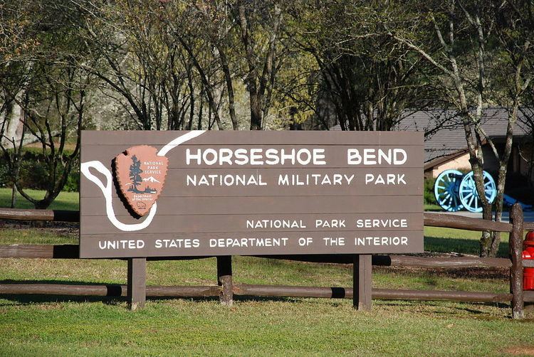
Horseshoe bend national military park alabama
Horseshoe Bend National Military Park is a U.S. national military park managed by the National Park Service that is the site of the last battle of the Creek War on March 27, 1814. General Andrew Jackson's Tennessee militia, aided by the 39th U.S. Infantry Regiment and Cherokee and Lower Creek allies, finally crushed Upper Creek Red Stick resistance during the Battle of Horseshoe Bend at this site on the Tallapoosa River. Jackson's decisive victory at Horseshoe Bend broke the power of the Creek Nation.
Contents
Over 800 Upper Creeks died defending their homeland. This was the largest loss of life for Native Americans in a single battle in the history of United States.
On August 9, 1814, the Creeks signed the Treaty of Fort Jackson, which ceded 23 million acres (93,000 km2) of land in Alabama and Georgia to the United States government.